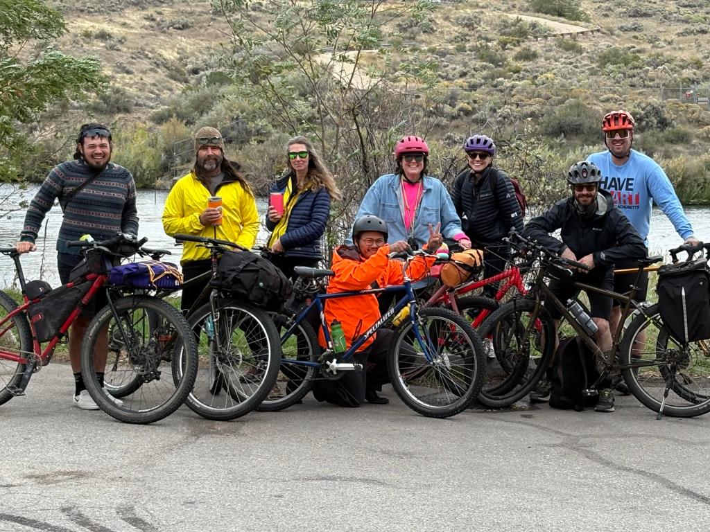
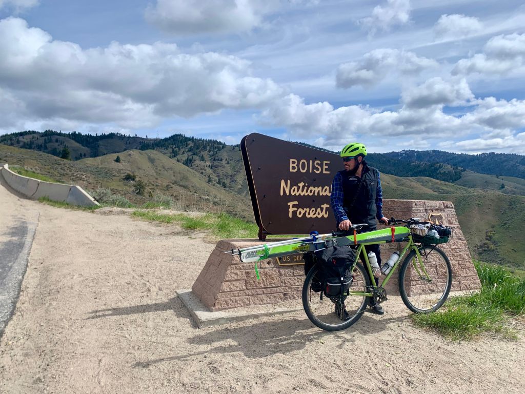
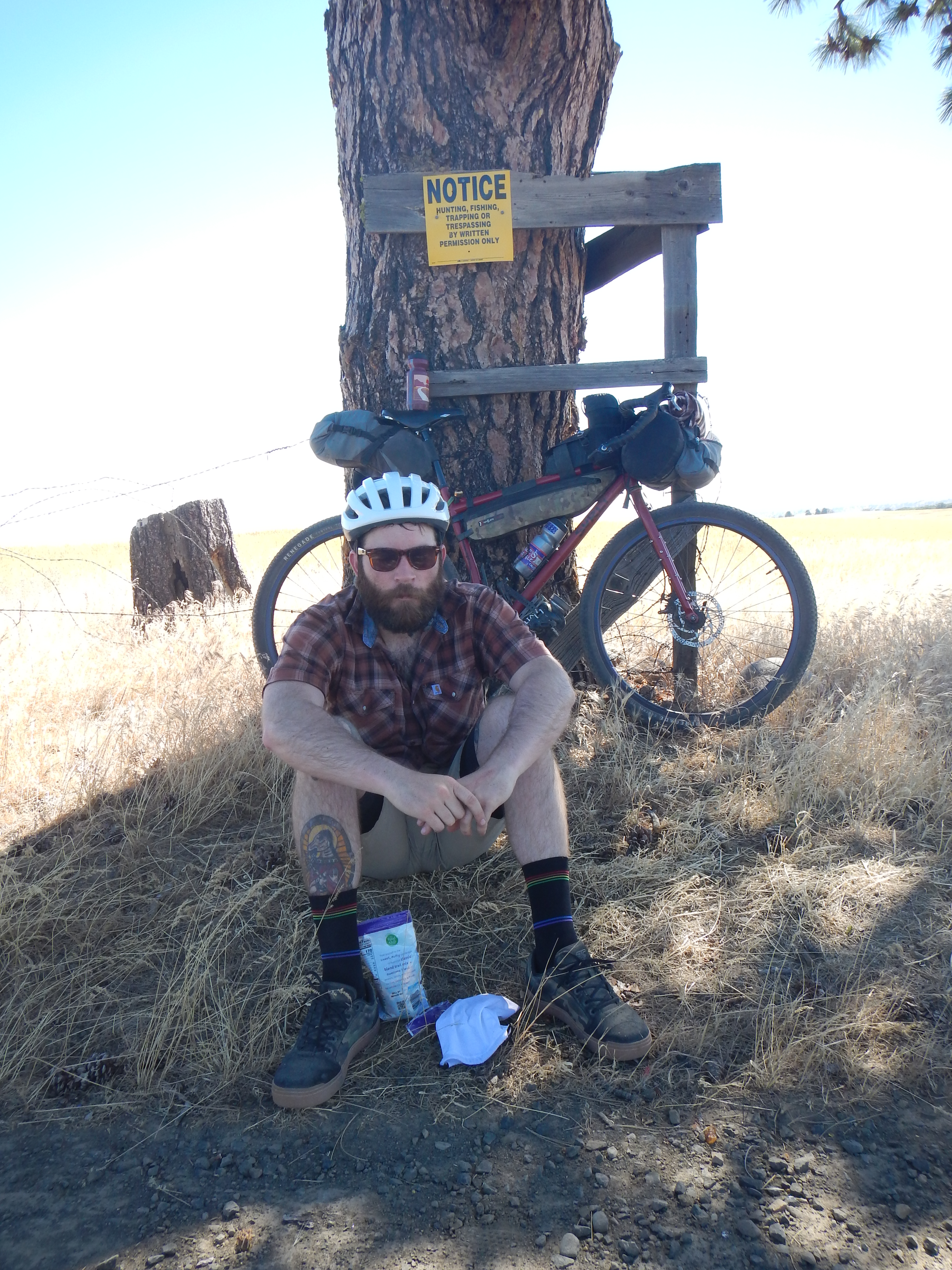
I had the pleasure of riding the Gunsight Ridge Loop with Josh and his old college cycling teammates over the Fourth of July weekend 2024. For more info about the route, check it out on bikepacking.com.
This 150 mi route starts/ends in The Dalles, Oregon. This central Oregon route incorporates some excellent gravel riding, beautiful sections of Old Barlow Road, and stunning views of Mt. Hood and Mount Adams. I wanted to write this article to share some ride photos and show how we broke down the route. We rode the route clockwise as recommended by the route designer. This set us up for three days of climbing and one final day with epic descents.
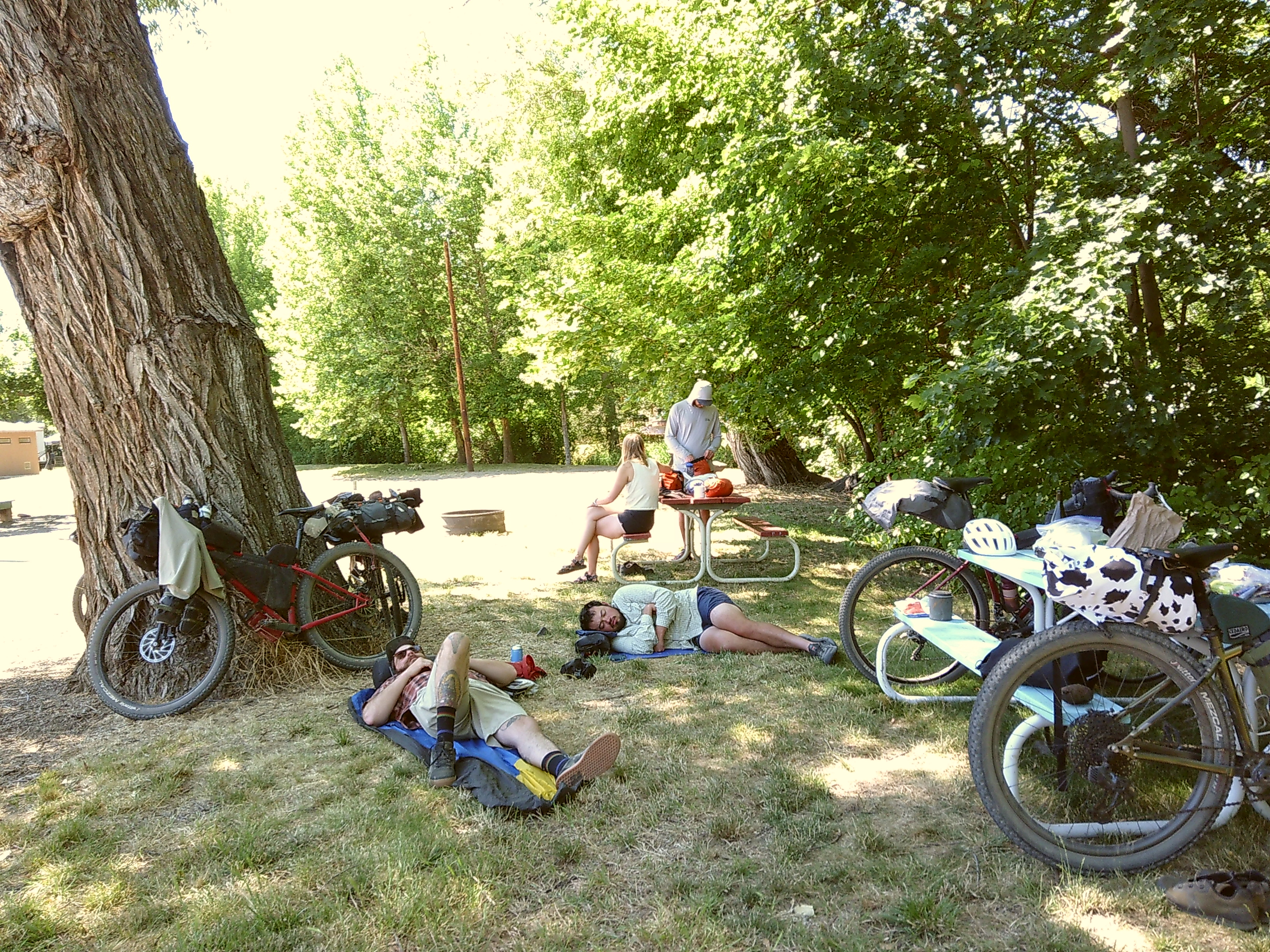
At the start of our trip, we were greeted with some pretty UNFORTUNATE news. The weather report showed severe heat warnings for all the days that we had planned to ride. Every day we encountered 100+ degree heat. To minimize our EXPOSURE to the sun, we were up at 4:45 am. We stopped riding sometime in the early afternoon with plenty of time to set up camp and enjoy the evenings.
Day 0
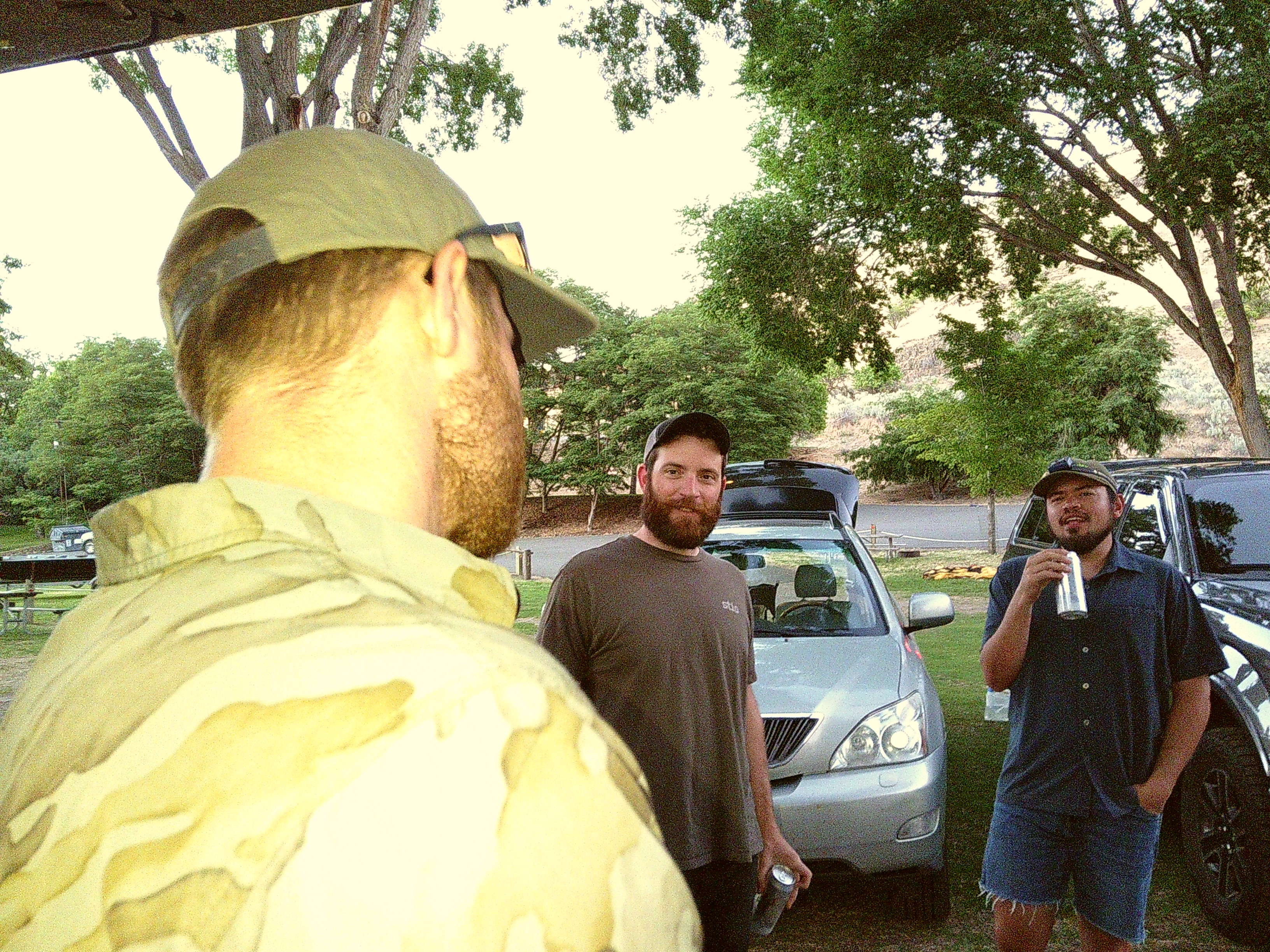
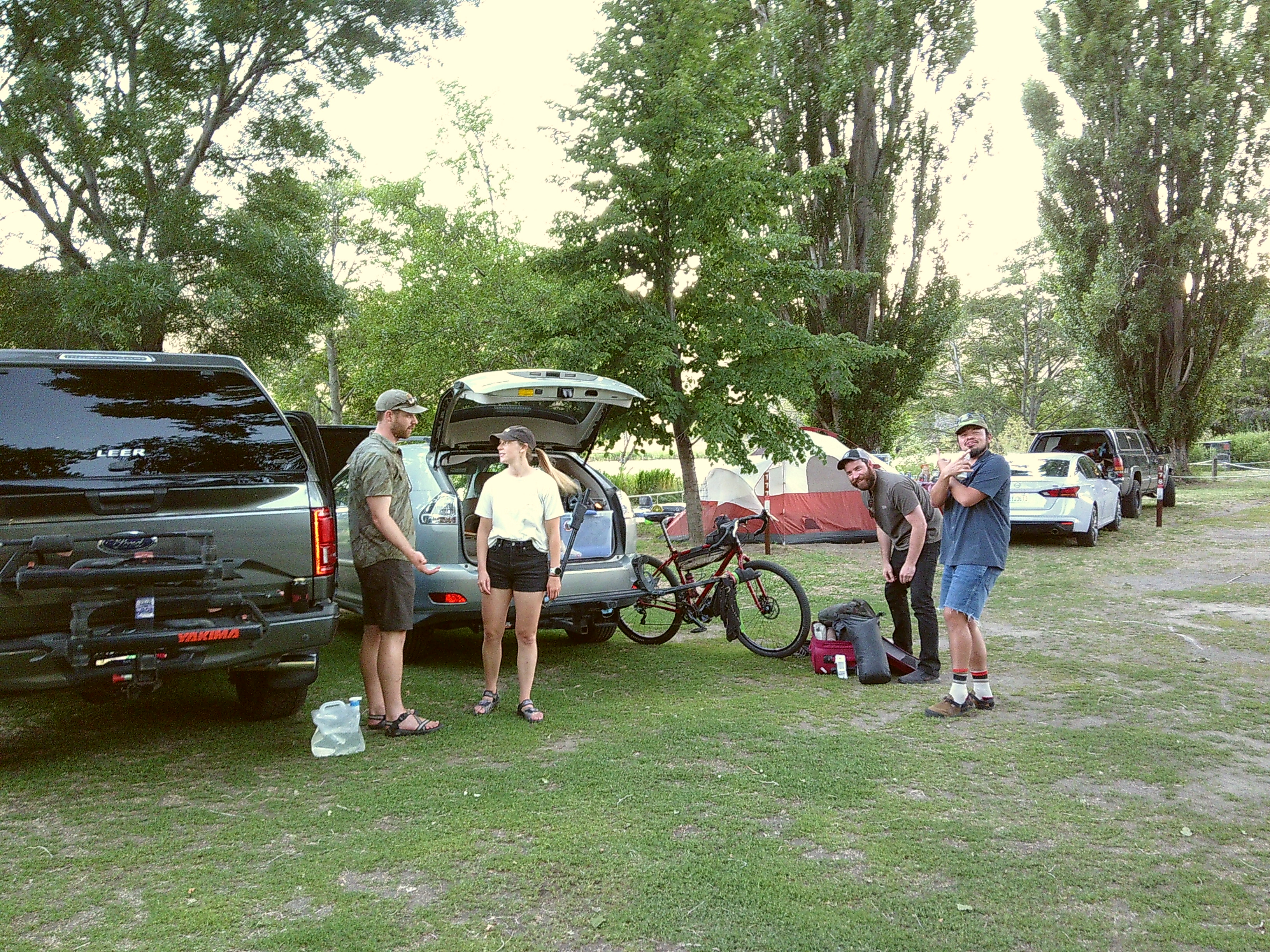
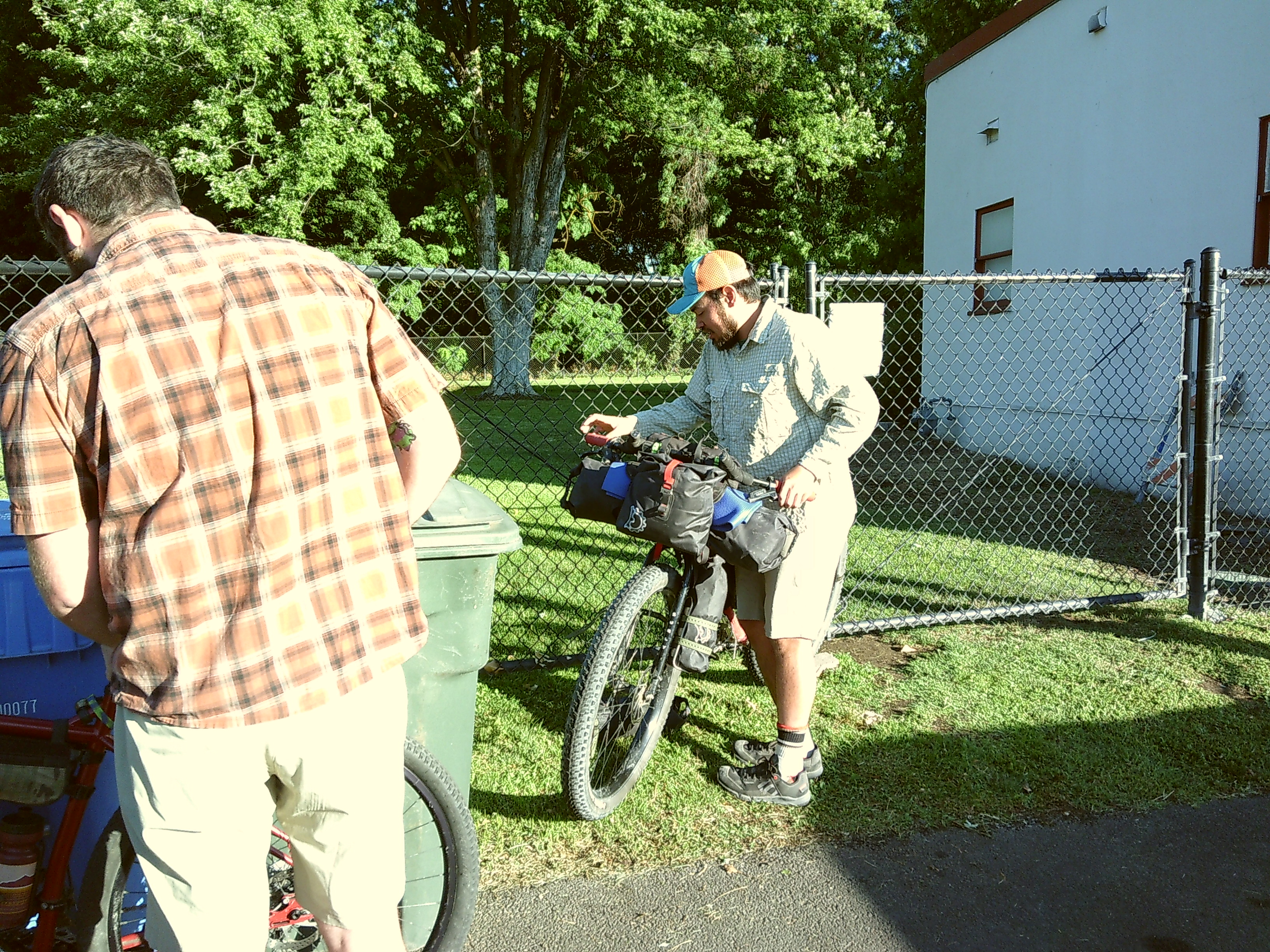
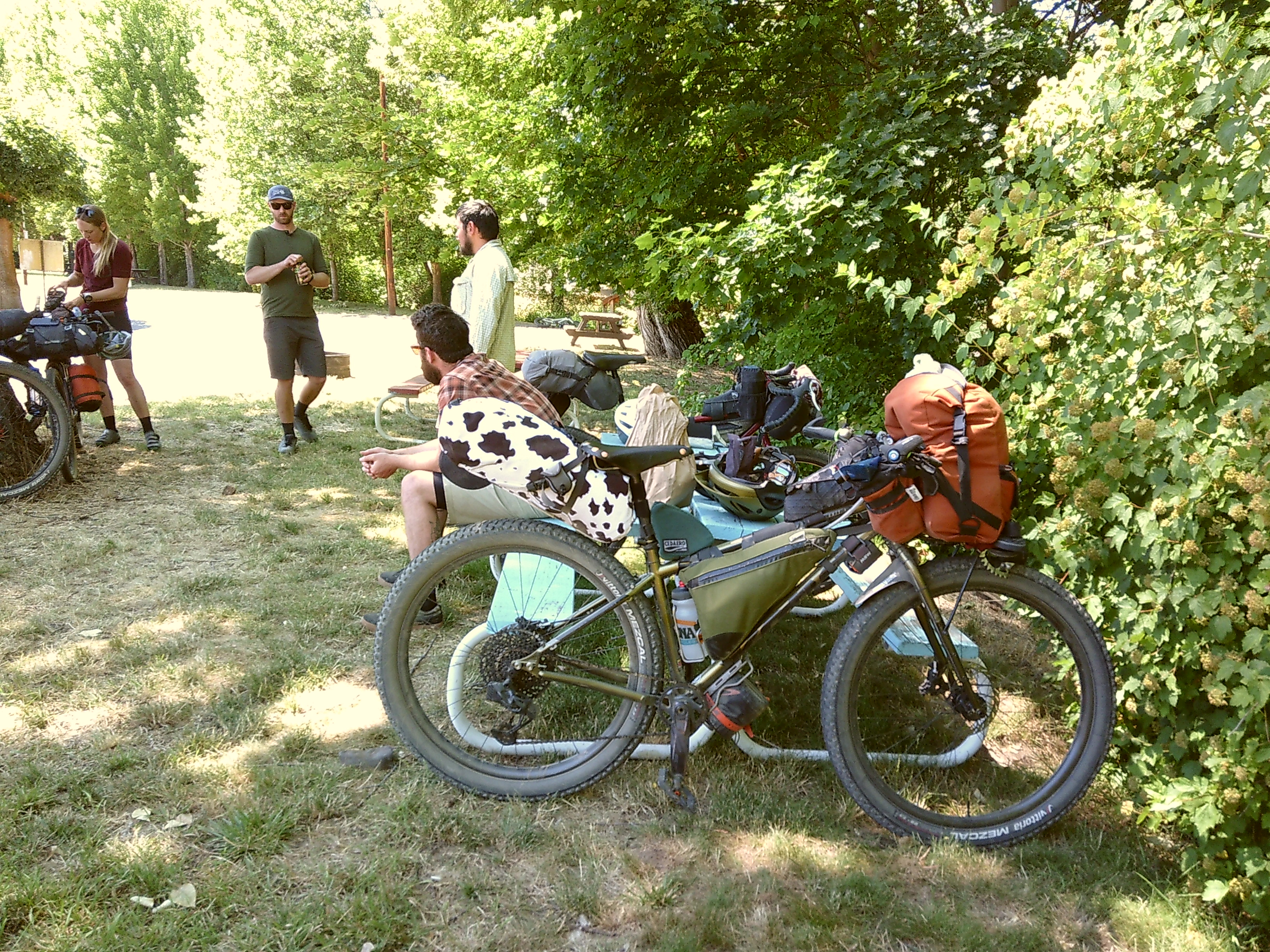
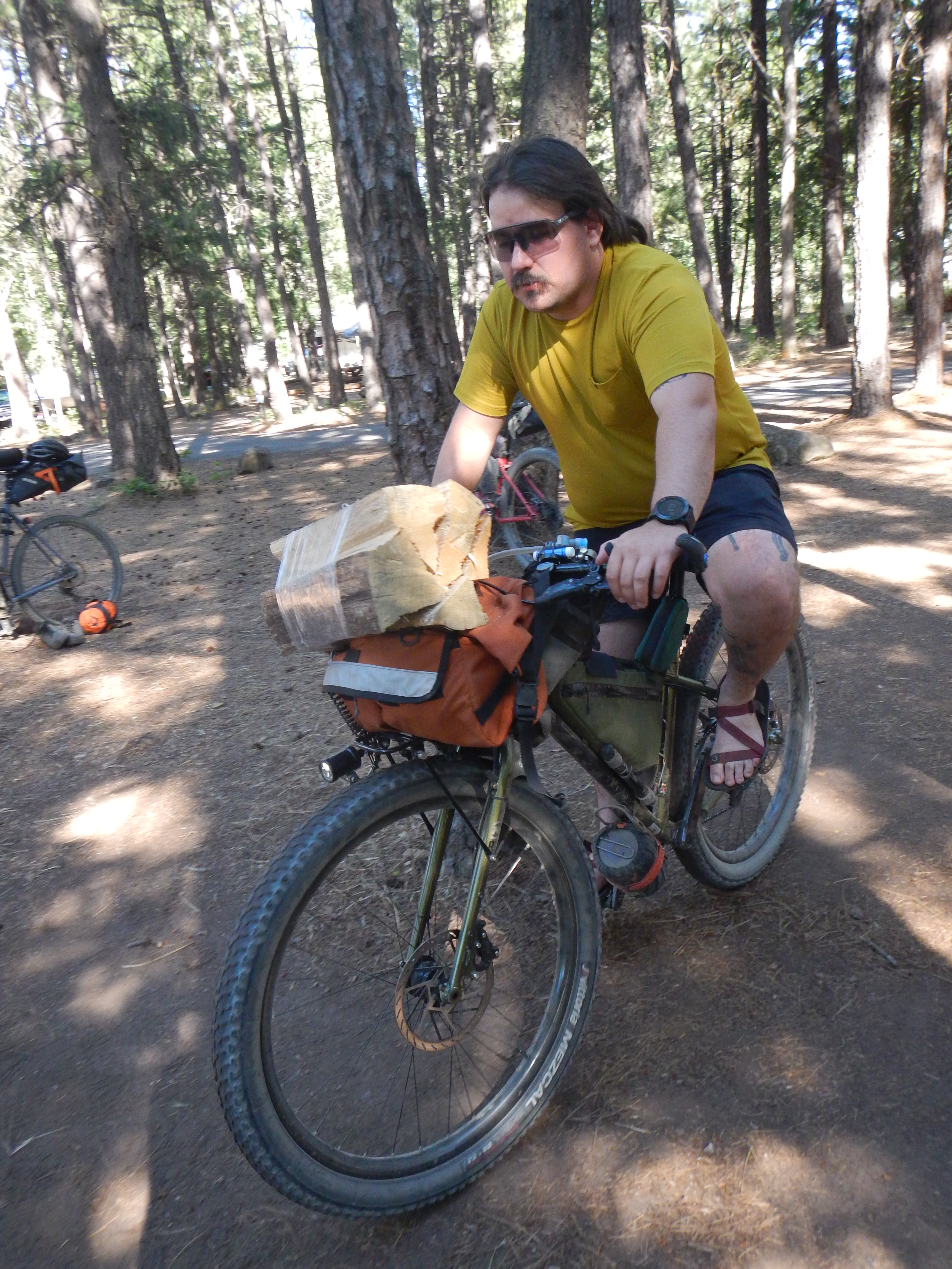
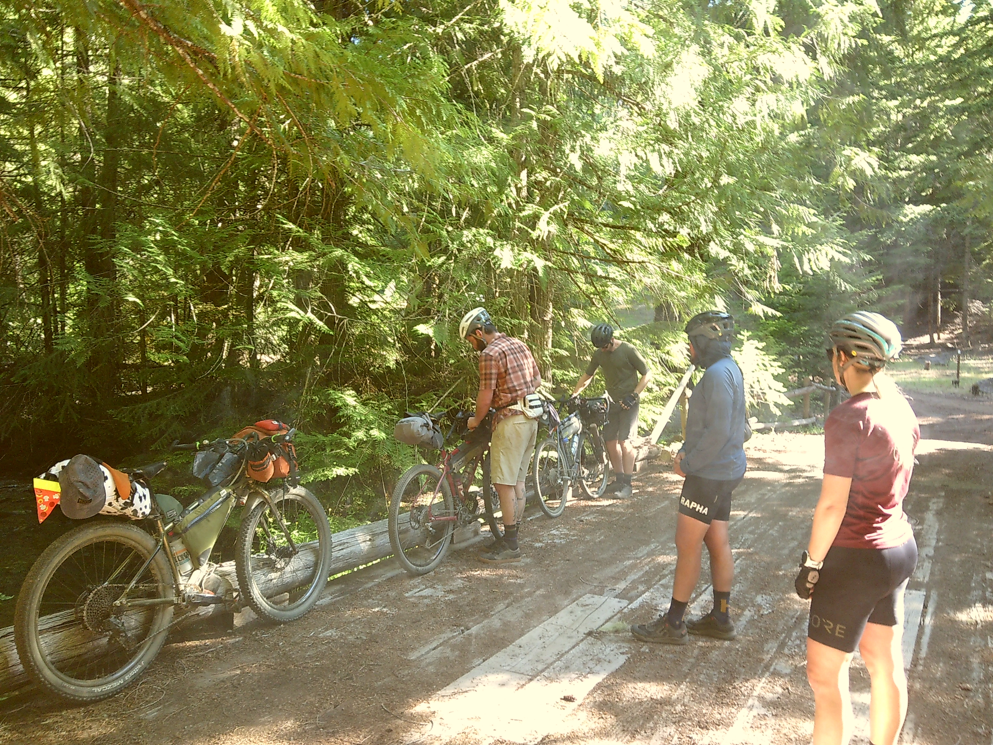
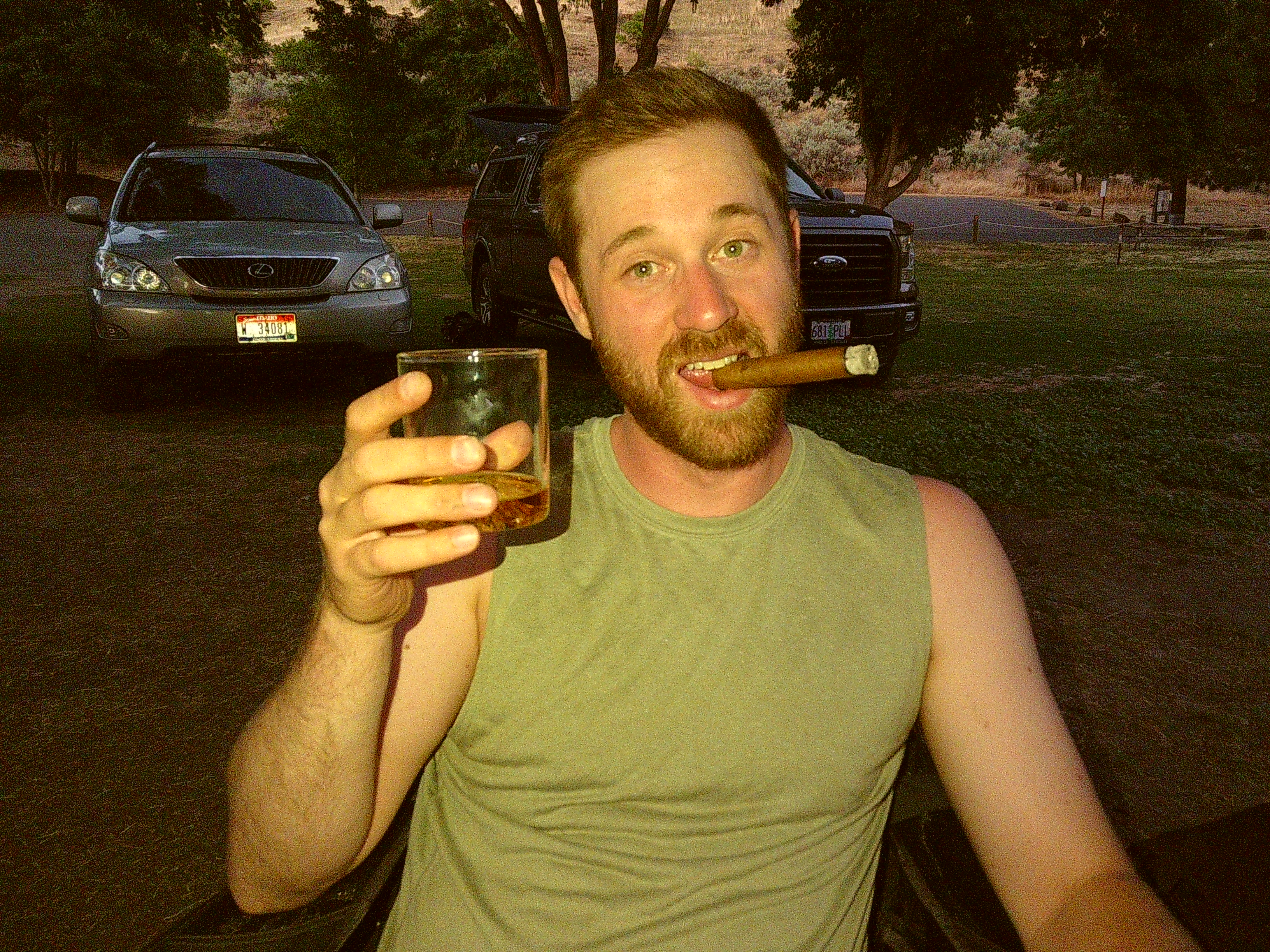
On Wednesday, July 3rd, The group met up at Deschutes river state recreation campground. we RESERVED a tent site prior to arrival. we used the time to prep our bikes and shotgun some coors lights.
Day 1 DAlles to Dufur – 30Mi, 3.5k’ climbed
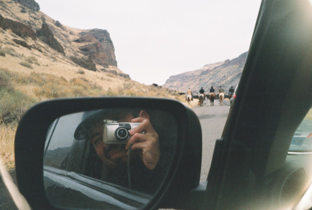
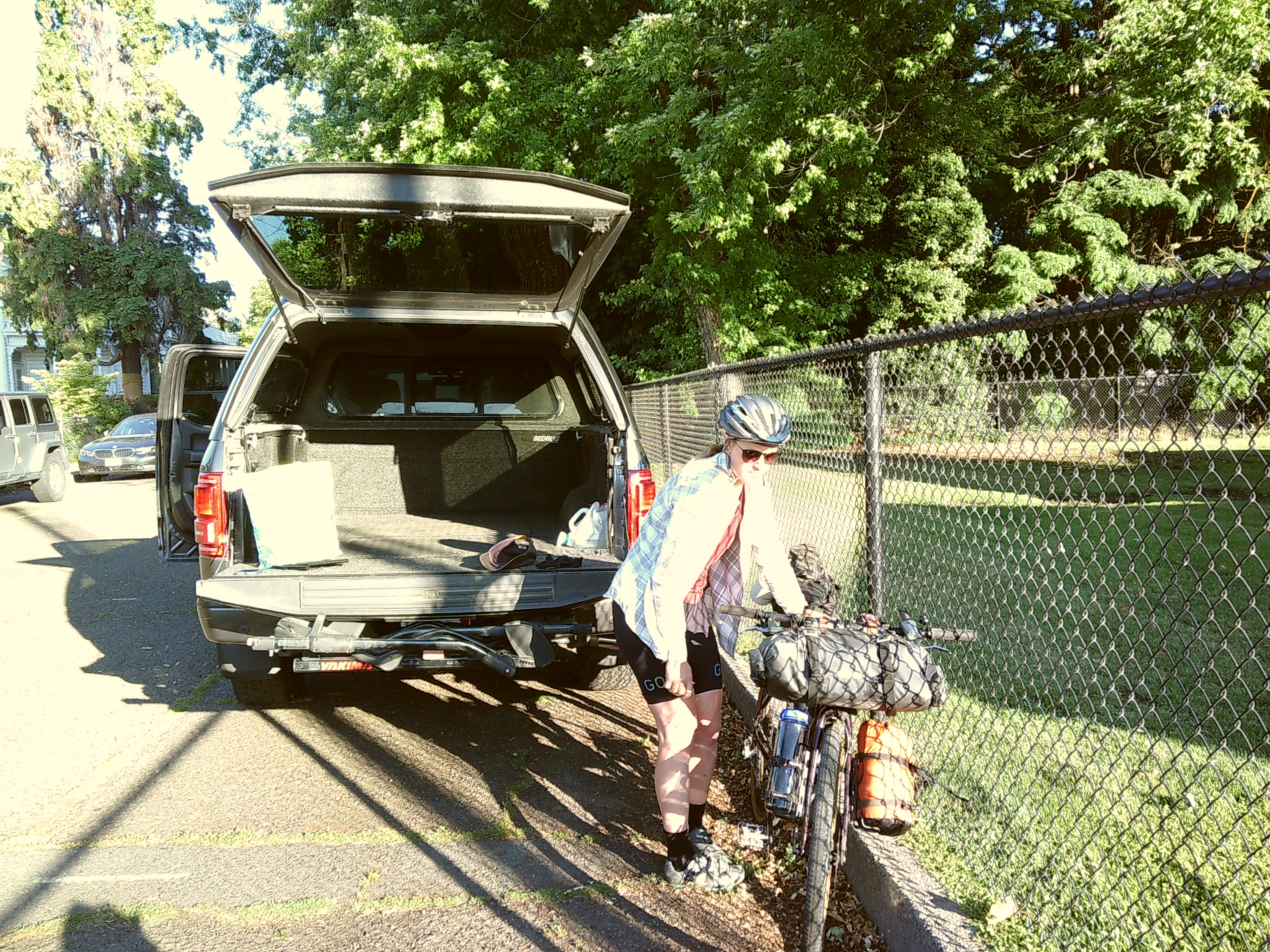
After packing up camp, we drove into the dalles. we found parking behind the Dalles Area Chambers of Commerces building. We had no issues leaving our two VEHICLES behind the building for the entirety of the trip.
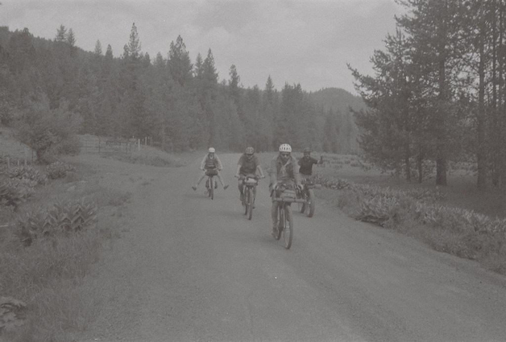
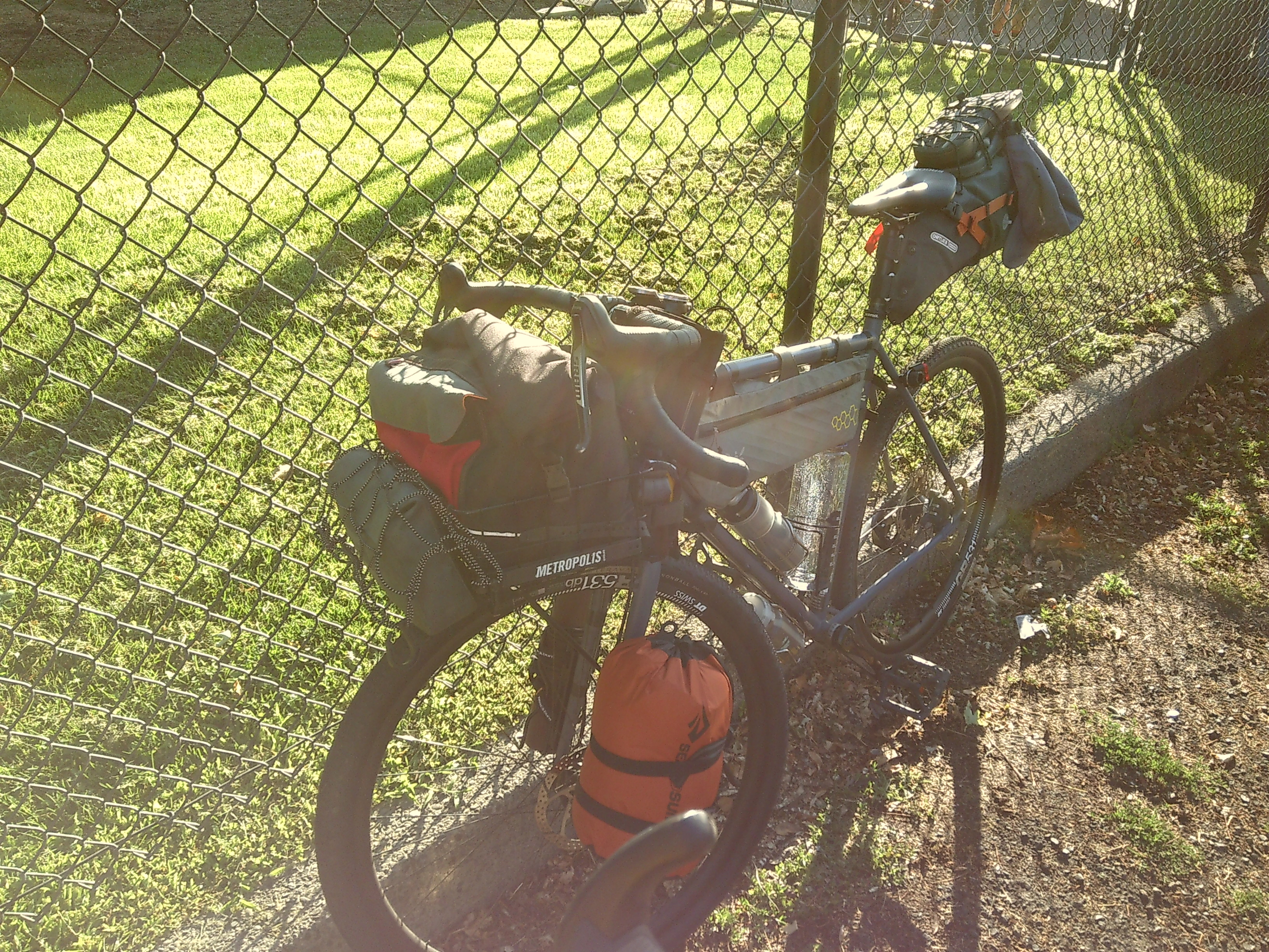
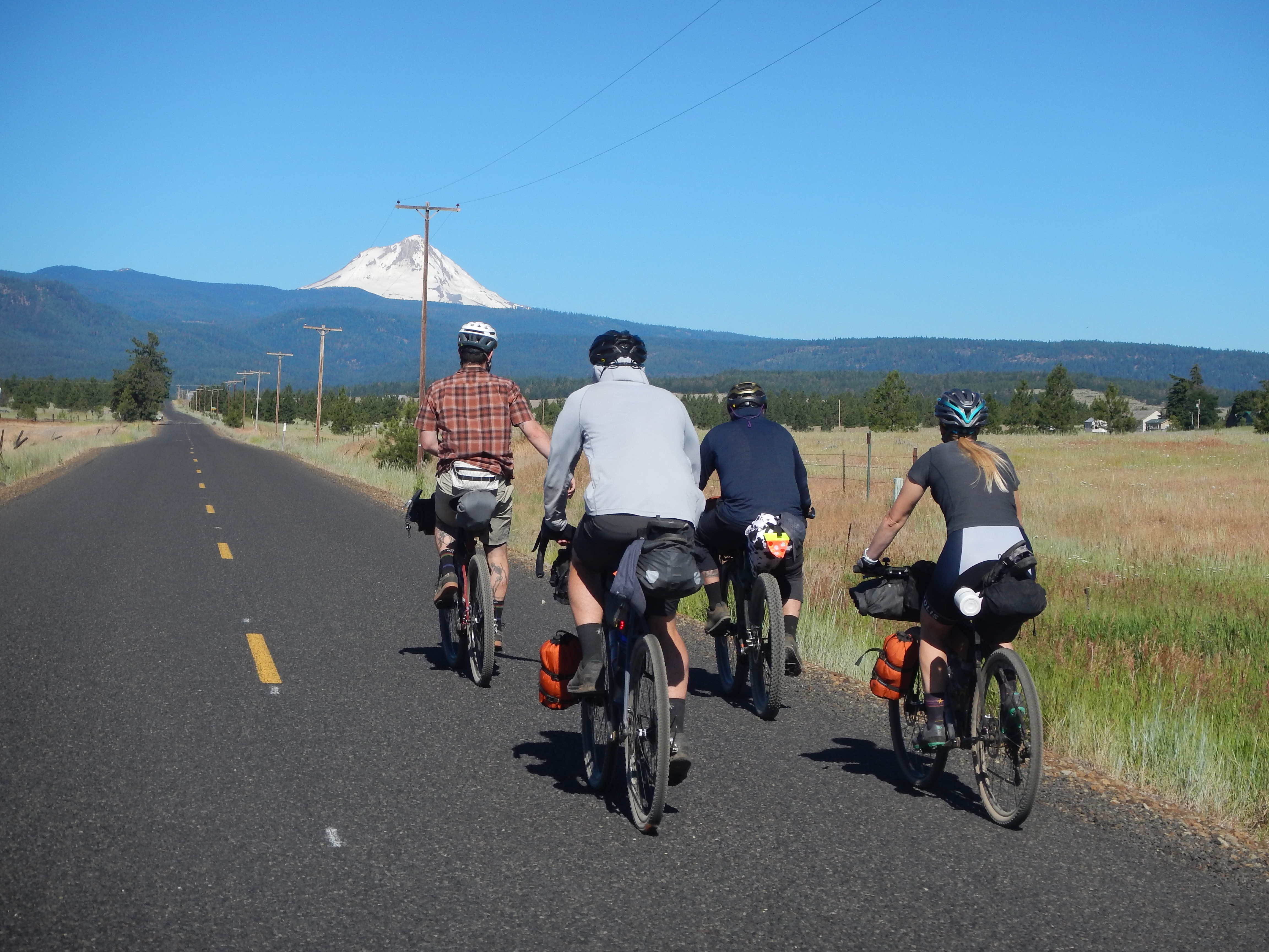
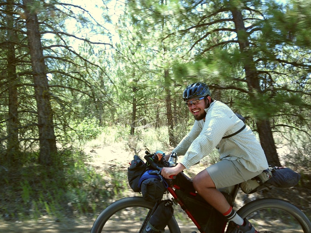
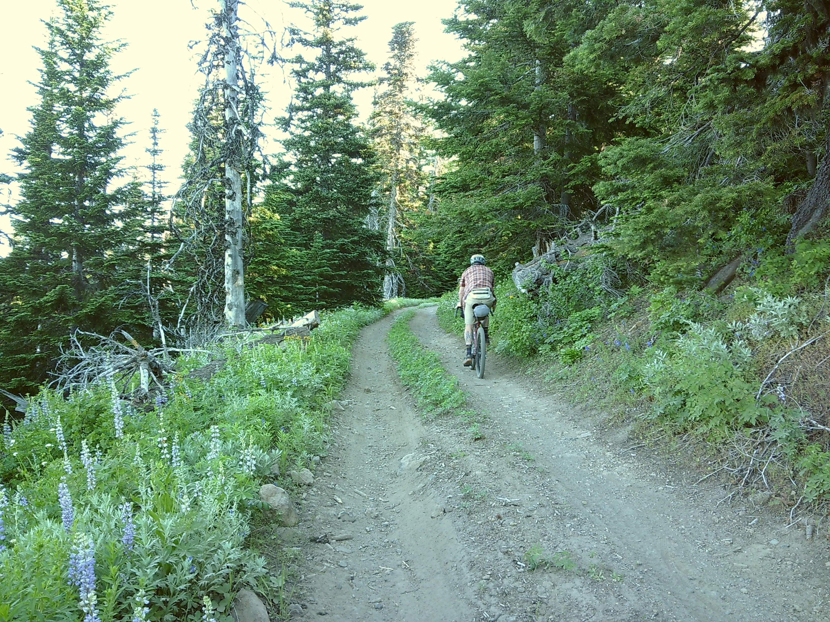
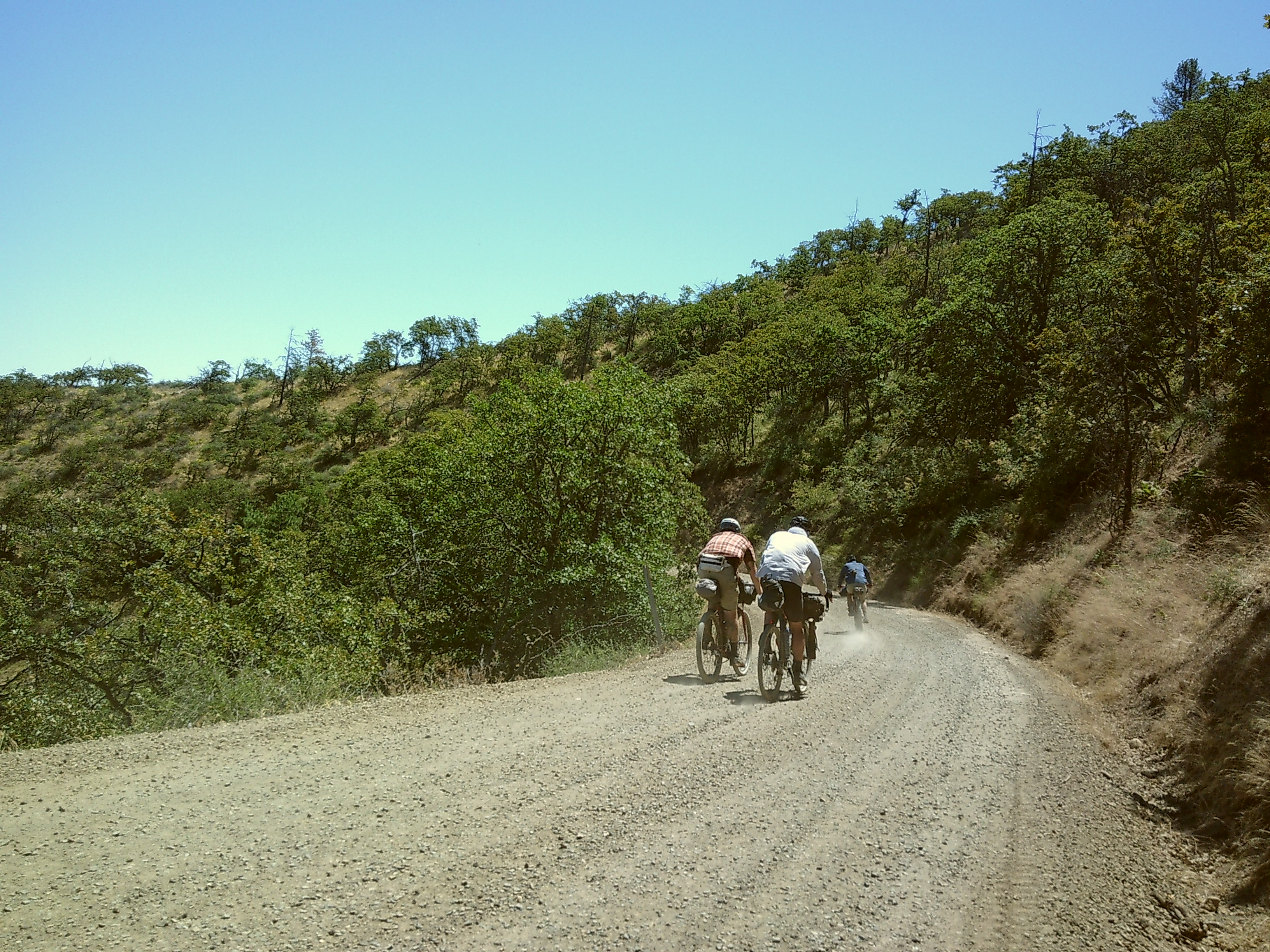
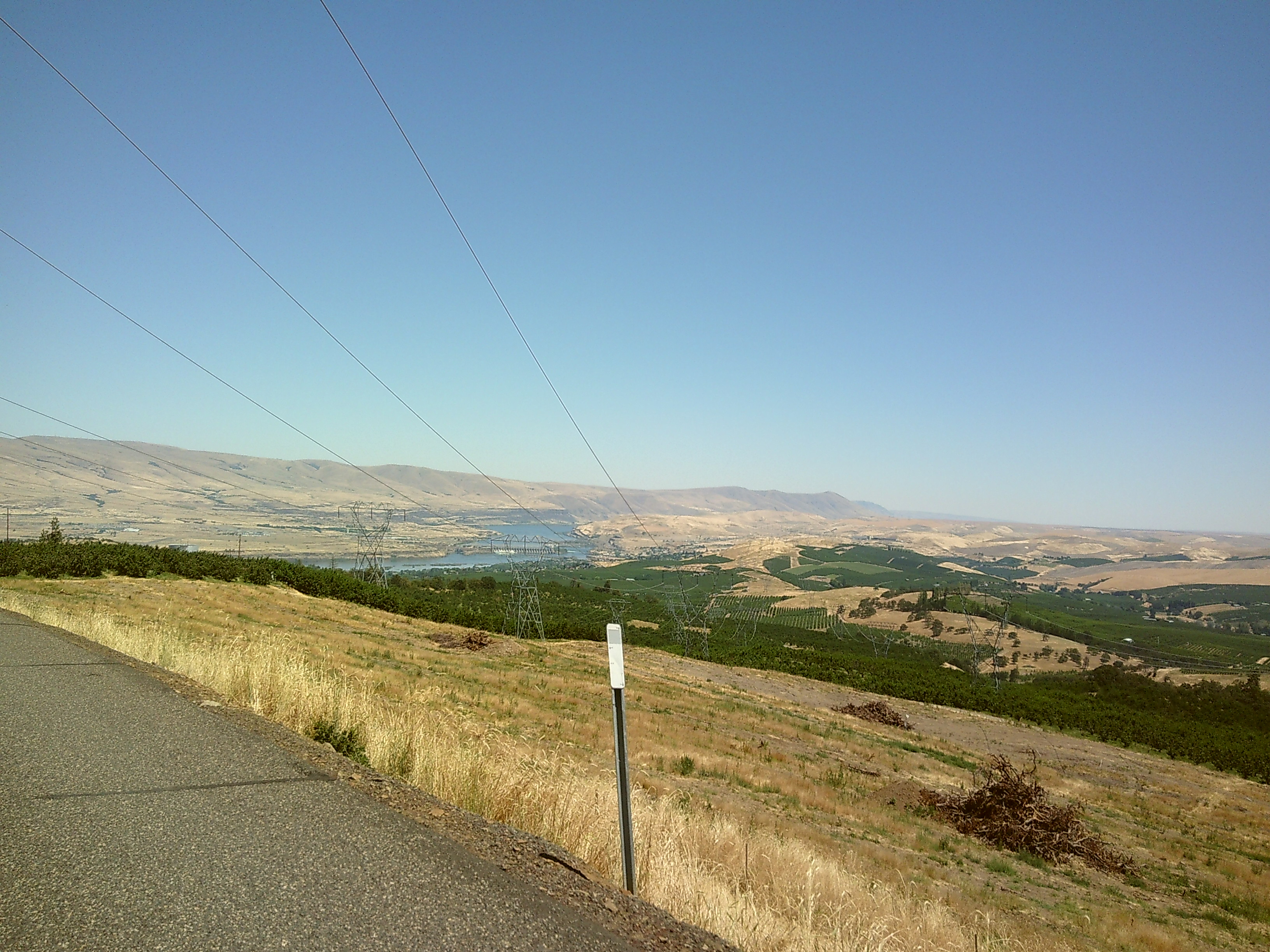
the start of the route began with an immediate climb out of the city. As we rode away from downtown, we wove through the numerous cherry orchards on the edge of the city. After an hour we eventually made our way to the dirt. This was approx 15-20 miles of the best-maintained gravel road I’ve ever ridden.
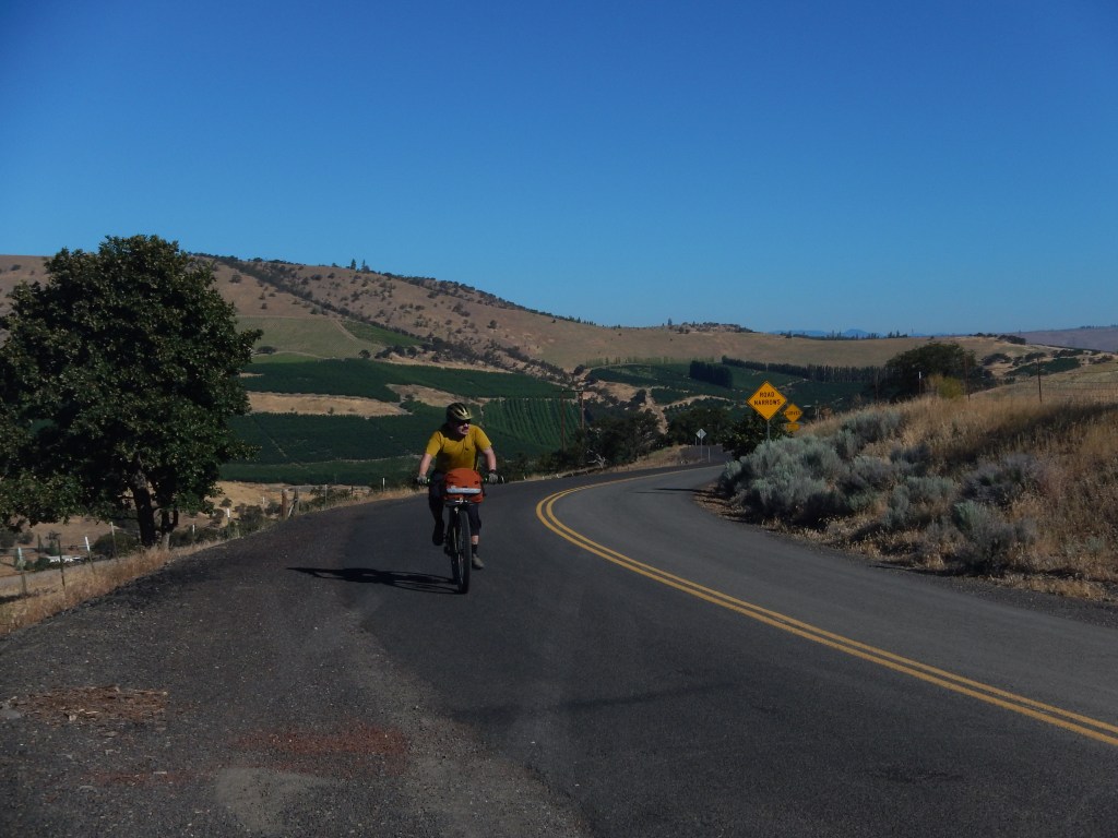
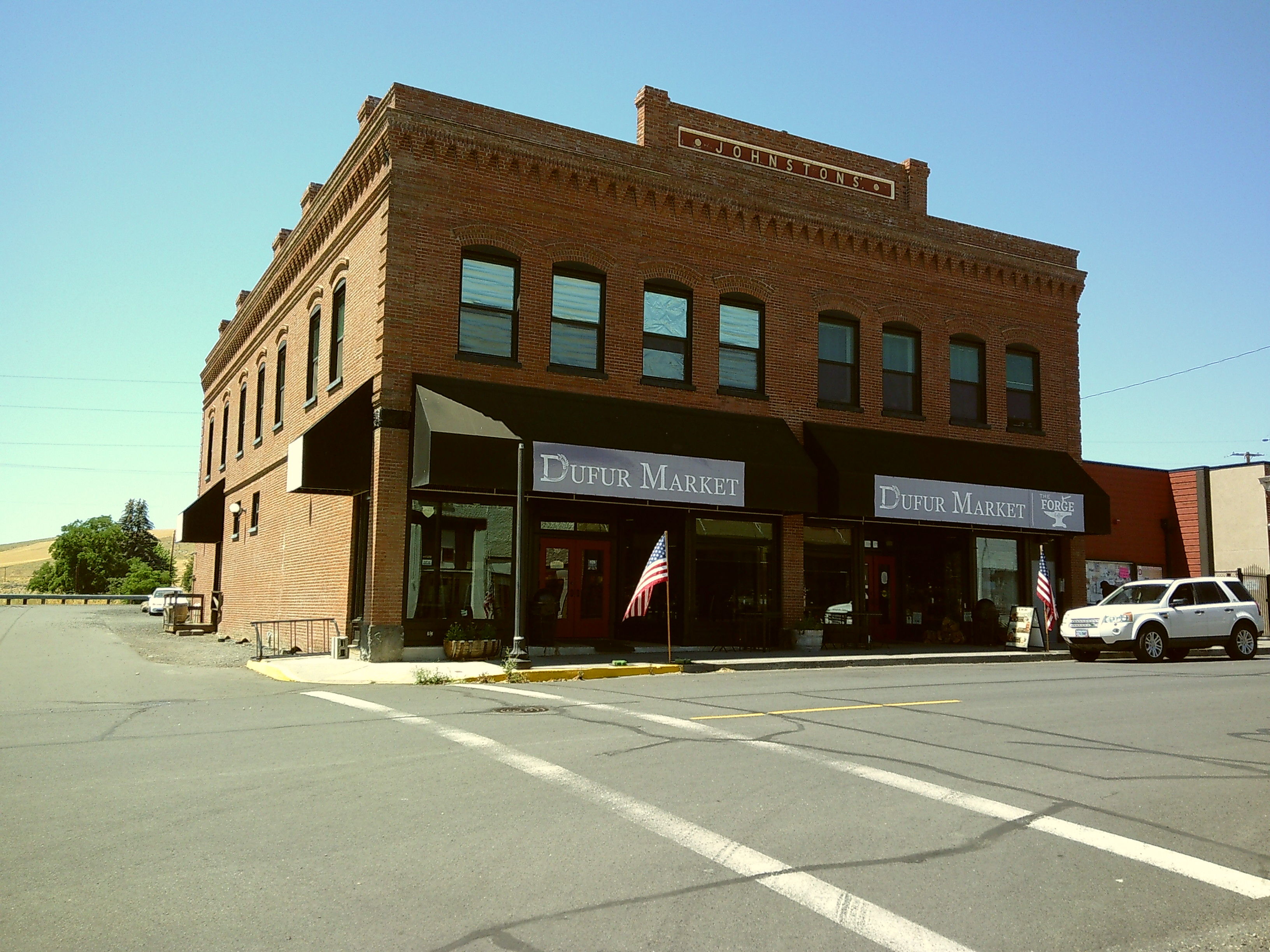
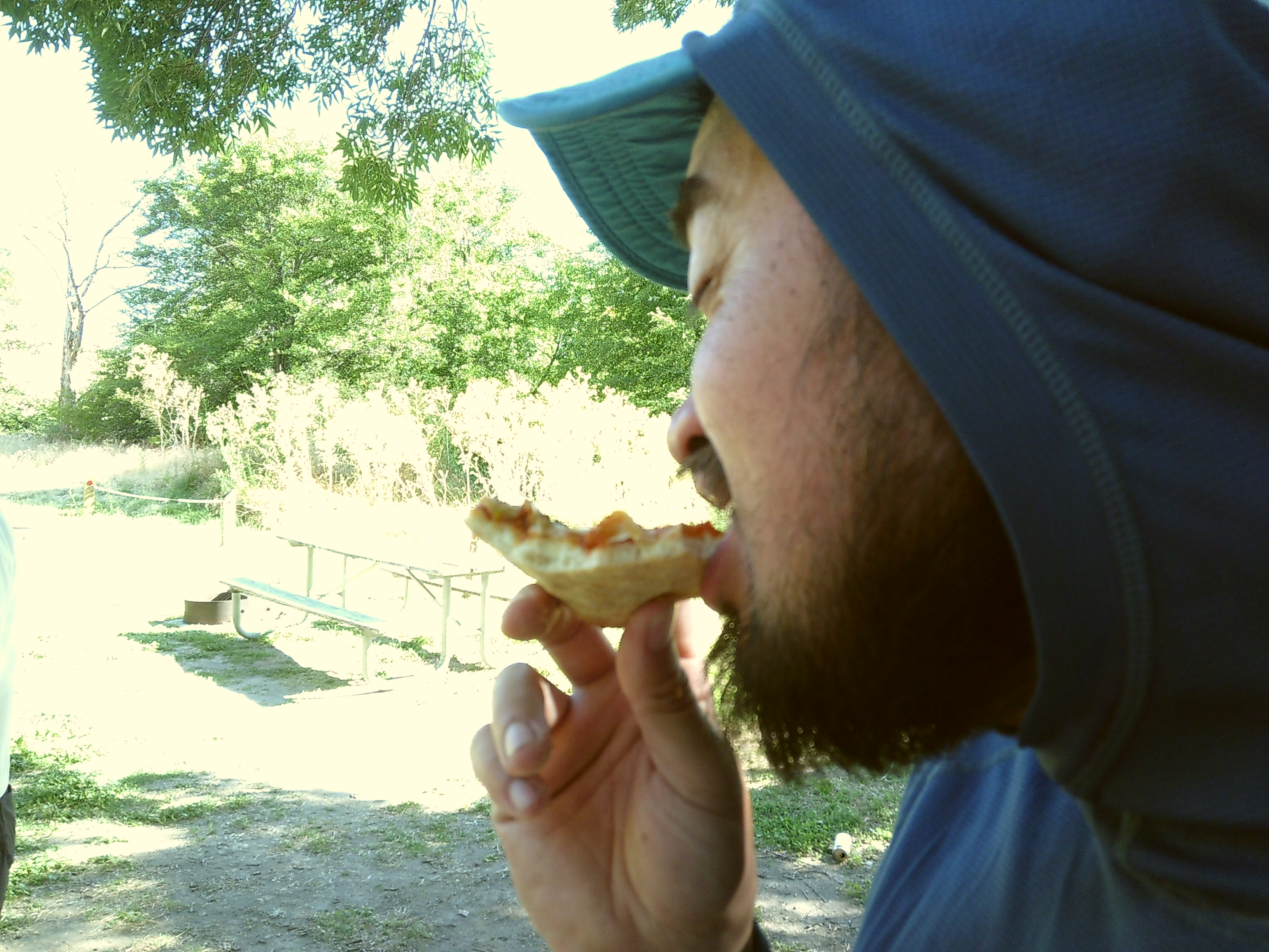
Our first day ended at the town of dufUr, which was our only resupply for the trip. We ended up paying to stay at the campground in town. it was 25$ a night per tent. The newly updated DUFUR MARKET was a great place to grab a burger and stock up for dinner supplies. The CAMPSITE was next to the community pool, which was a novelty on a bike tour.
Day 2 Dufur to Rock Creek Reservior – 25 mi, 2.5k’ climbed
DUFUR to Rock Creek RESERVOIR was a pretty tough section because of the sun exposure. If I remember correctly, we took a small deviation from the GPX route. We opted out of a short section of double track, NF120. We took the more direct paved road, FR 27.

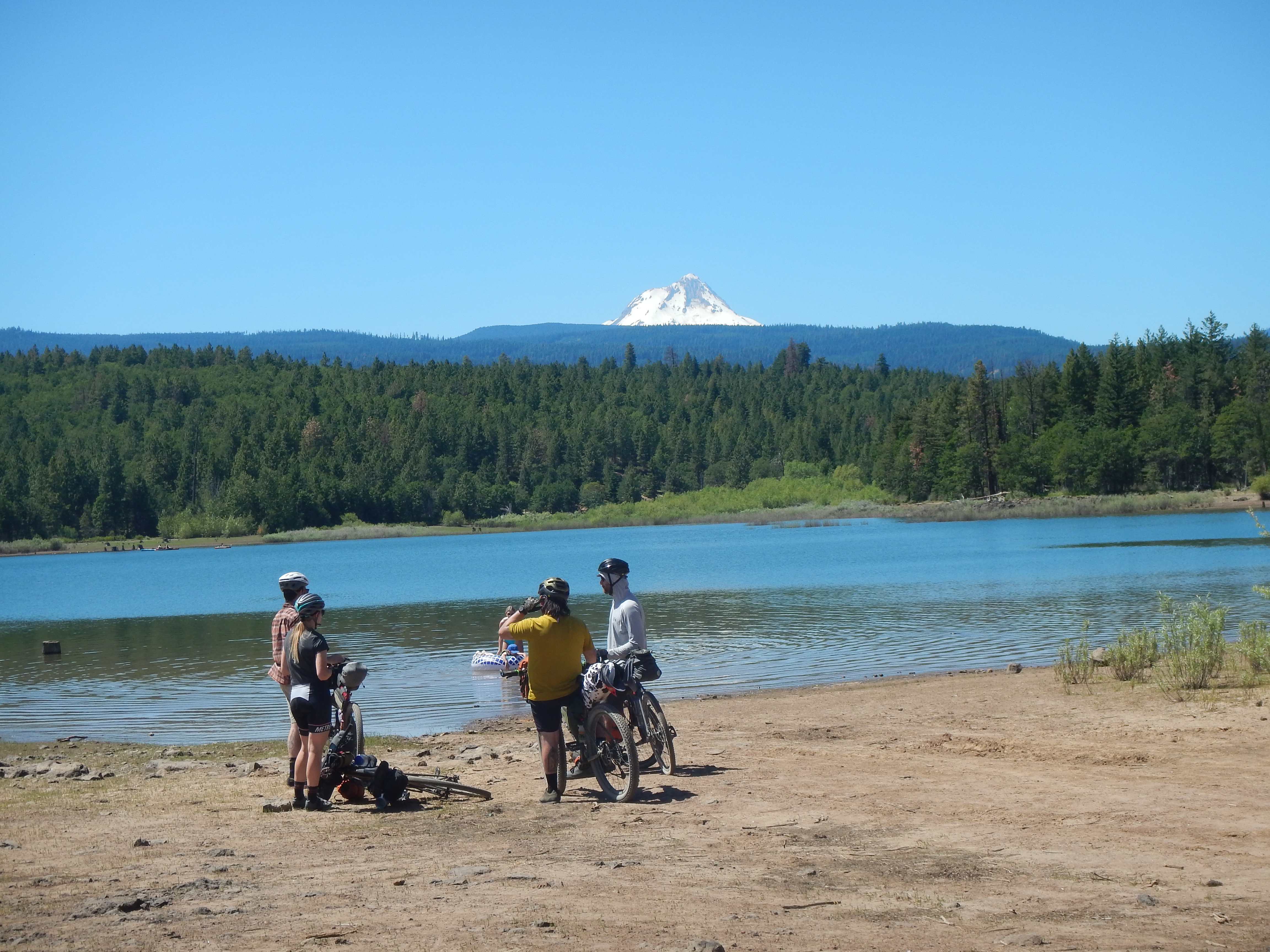
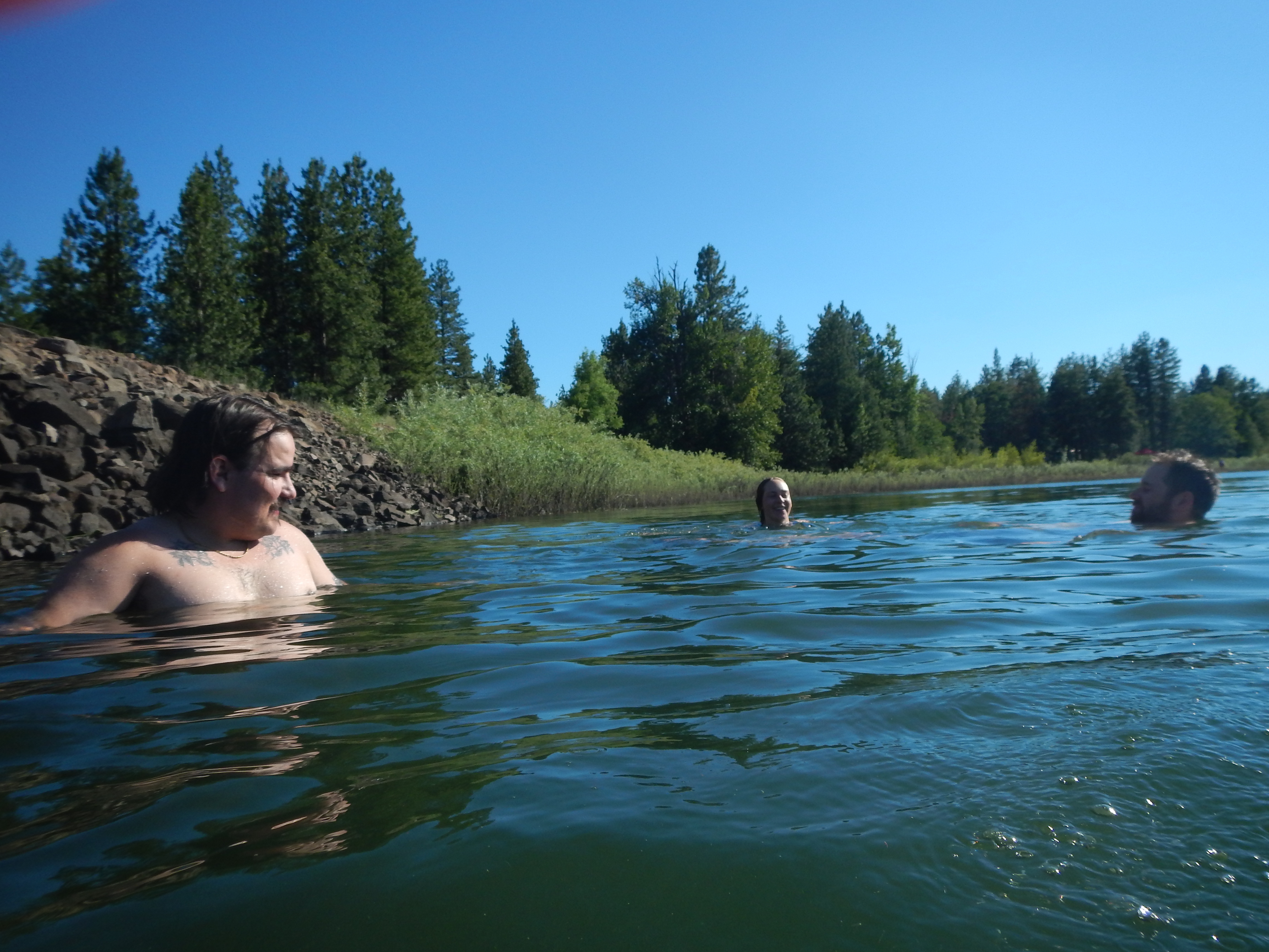
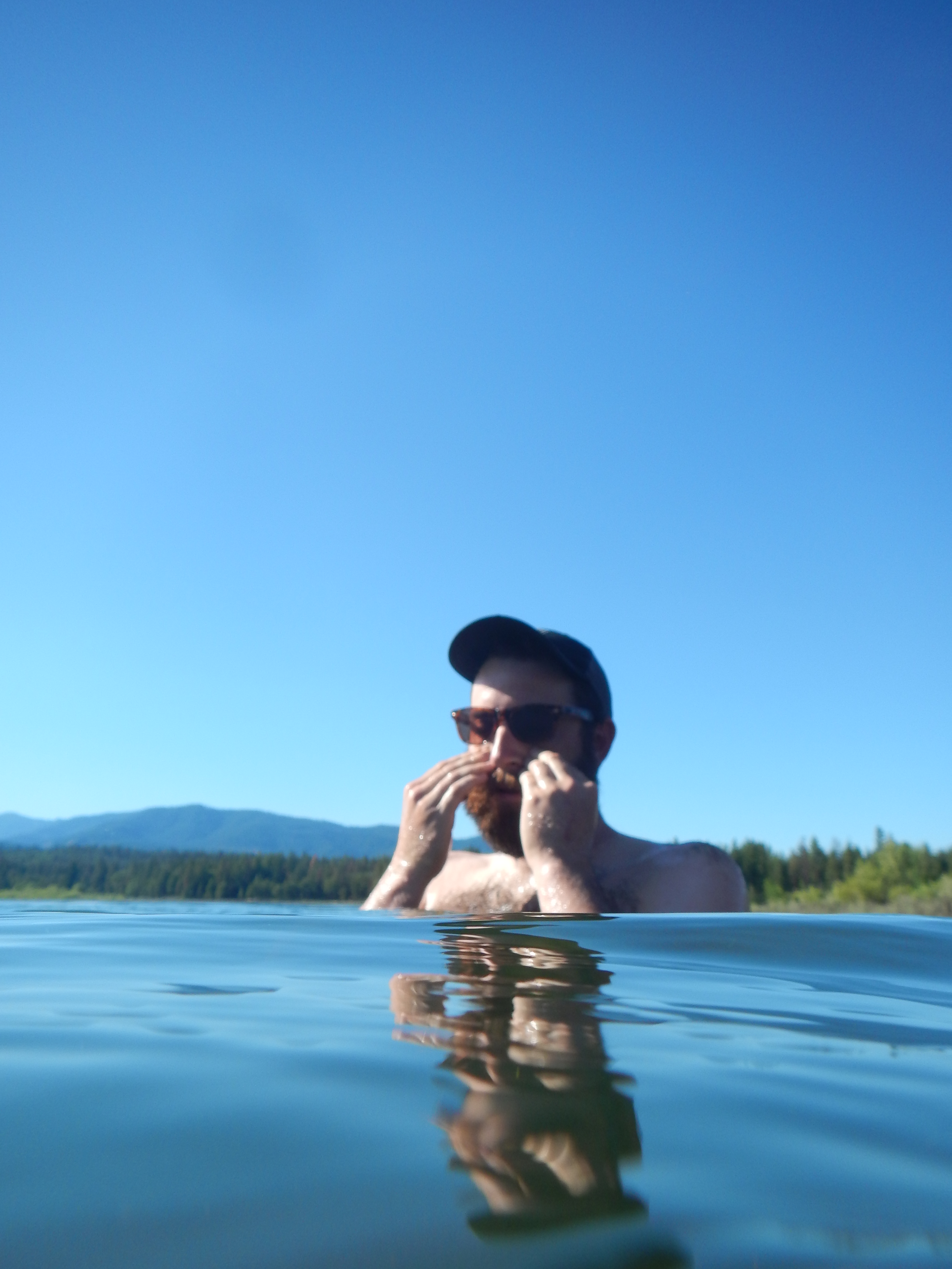
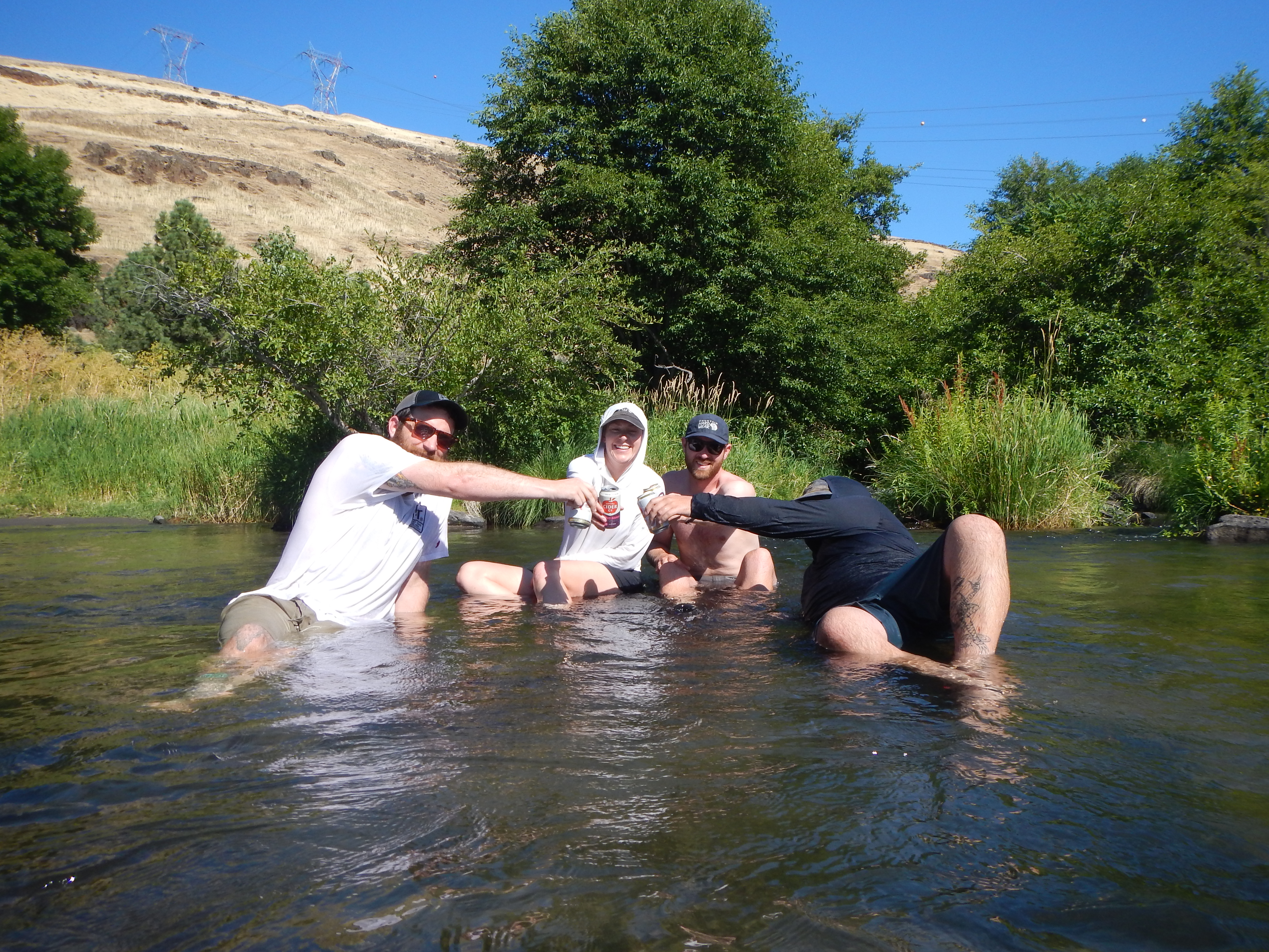
Due to the heat, we ended our day earlier than expected. We were lucky enough to get a site at Rock Creek RESERVOIR Campground. The site included a table and a pit TOILET. It was nice to jump into the RESERVOIR at the end of a long day.
DAy 3 Rock Creek Reservior to Jean lake – 36 miles, 6k’ climbed
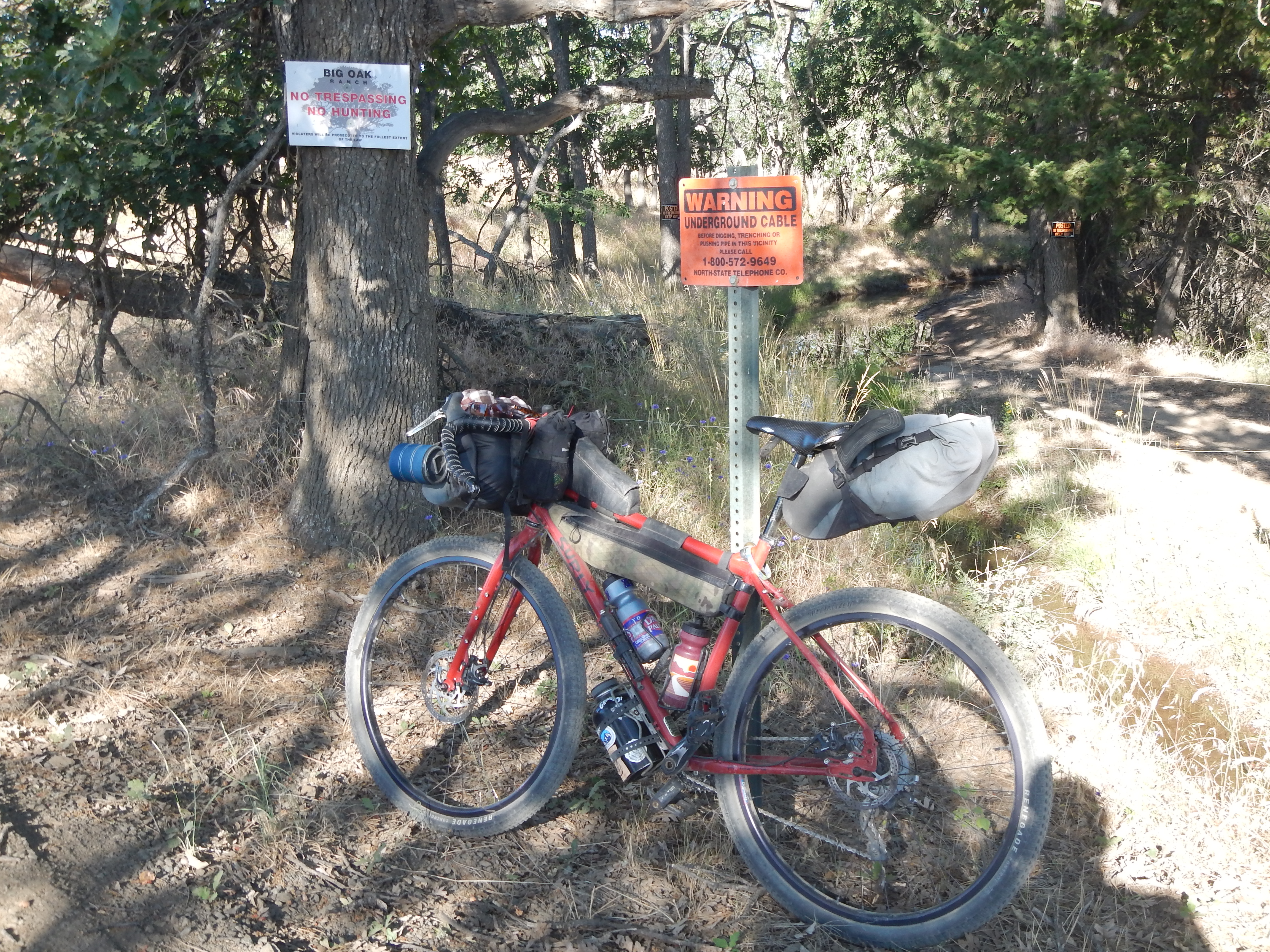
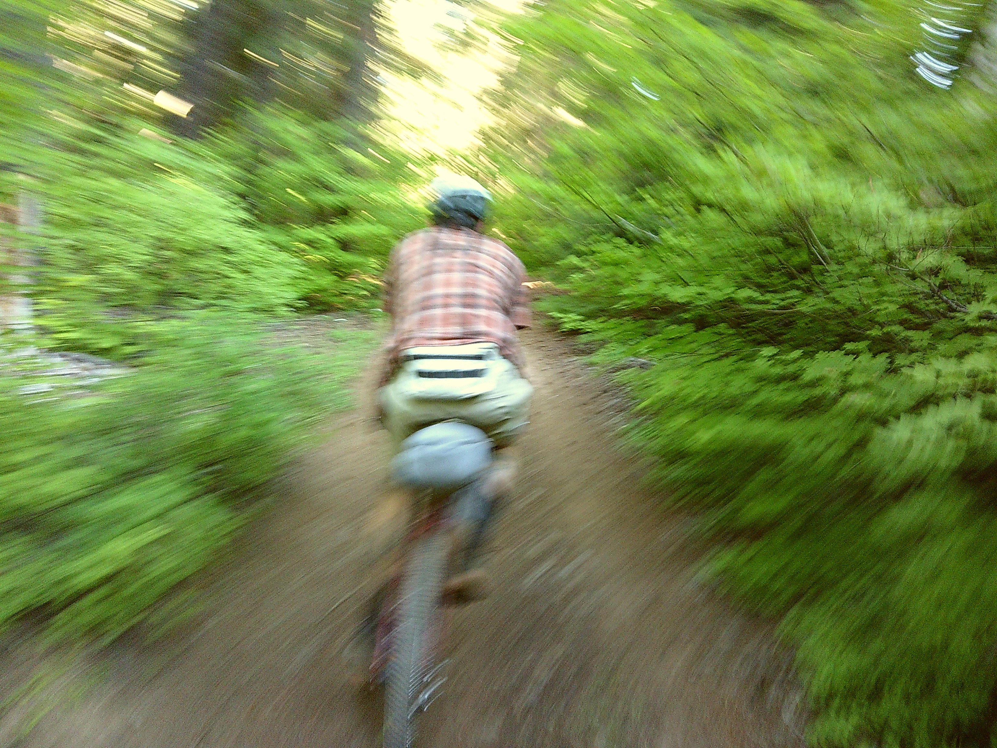
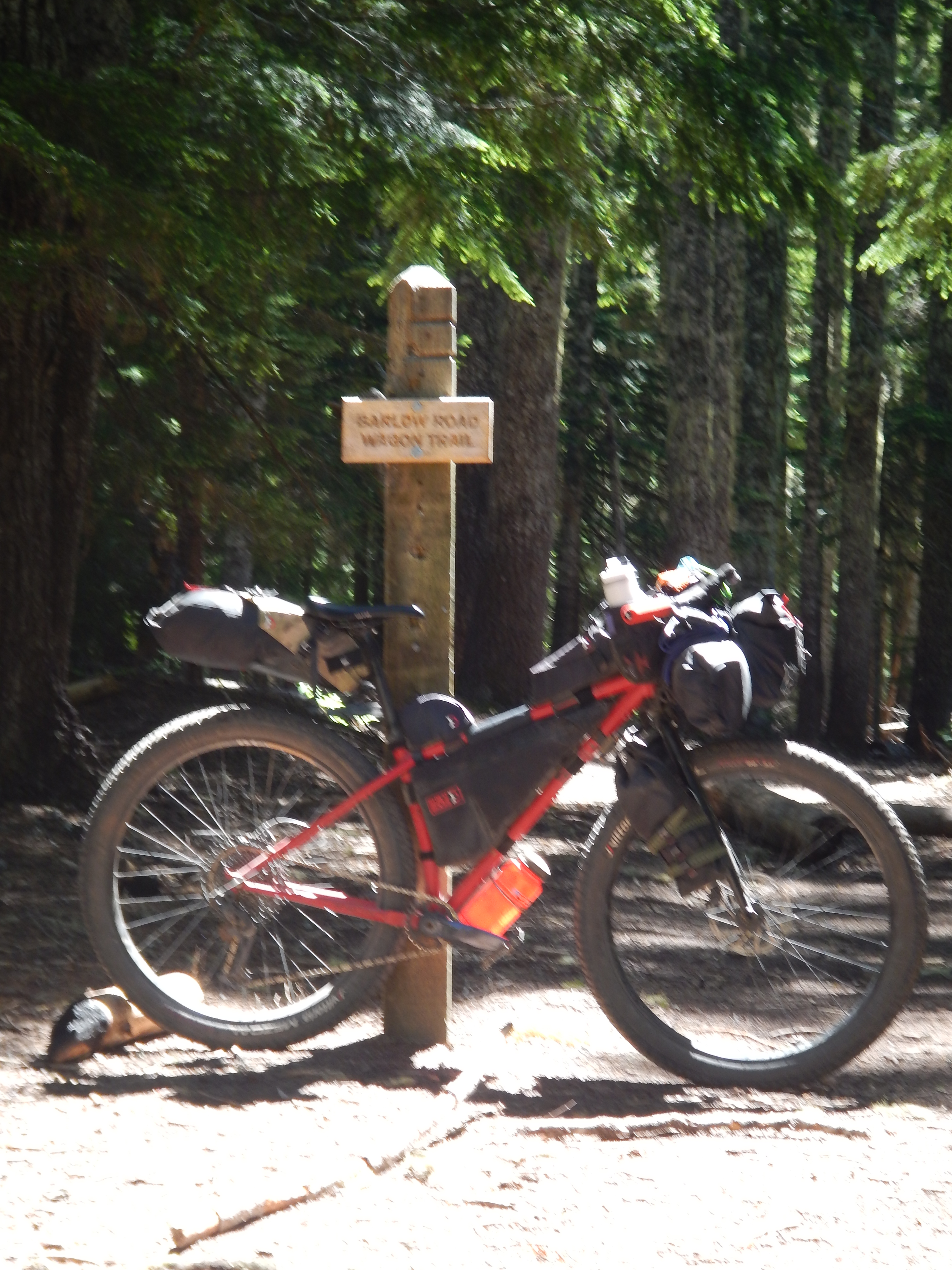
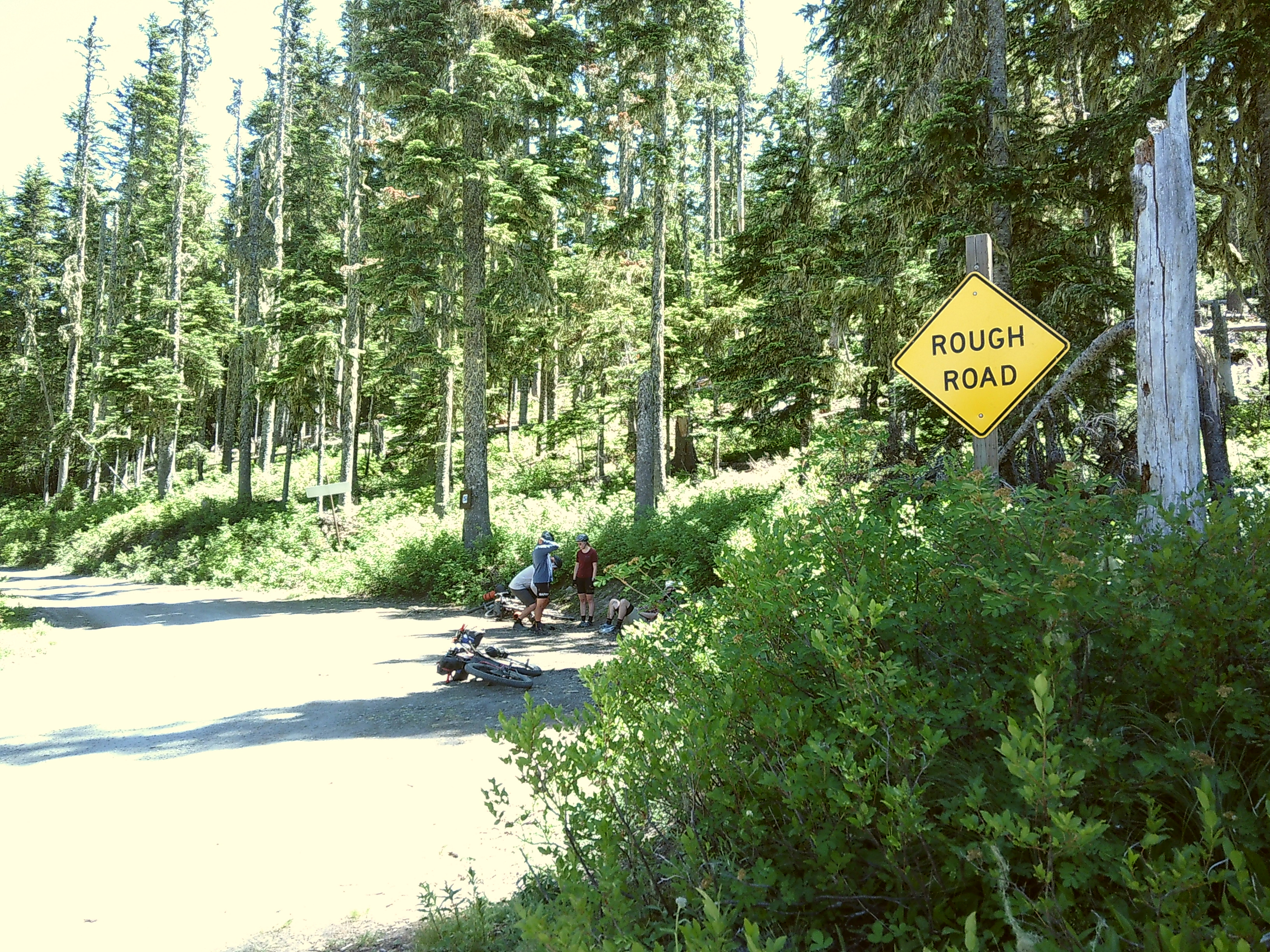
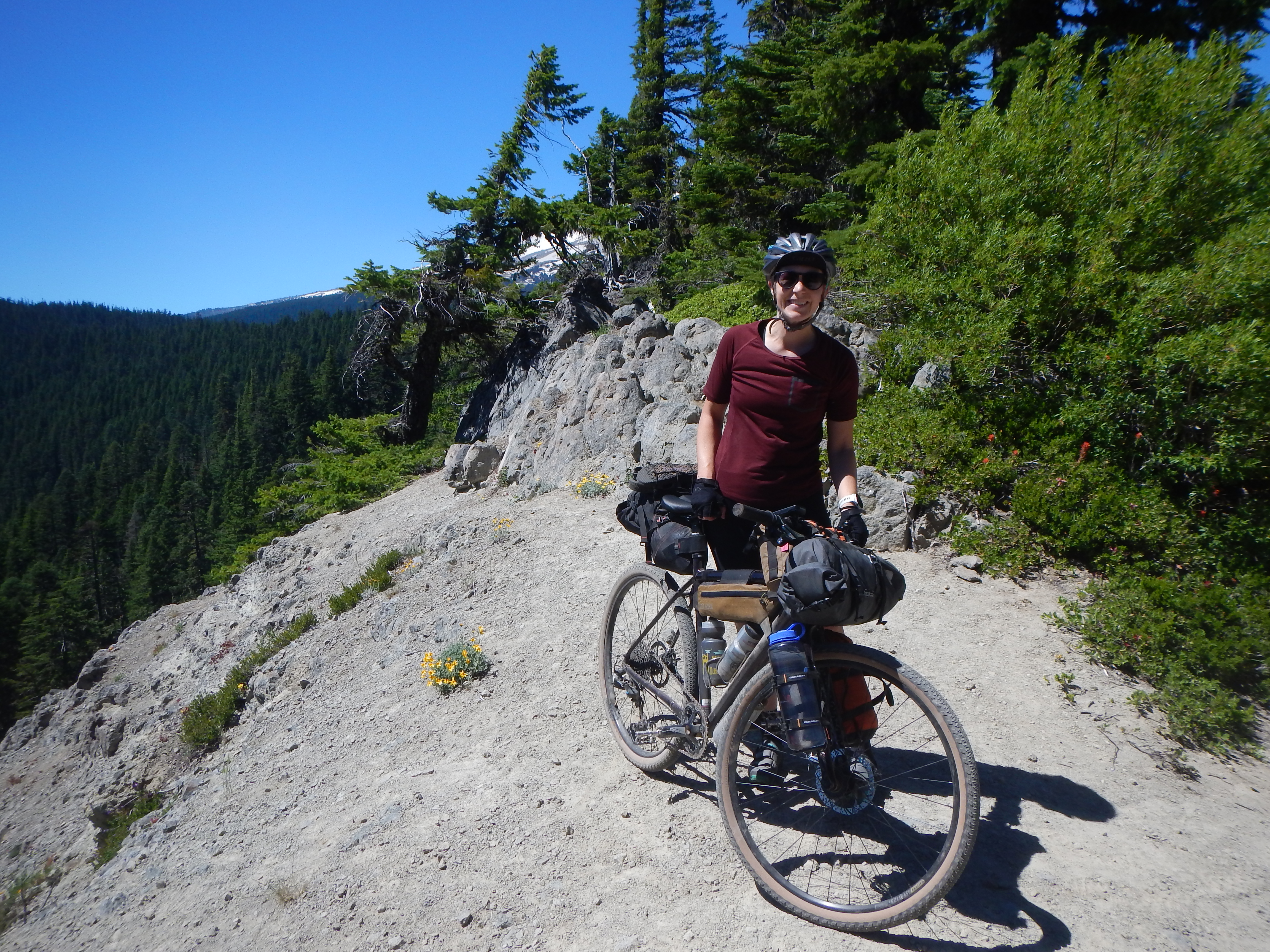
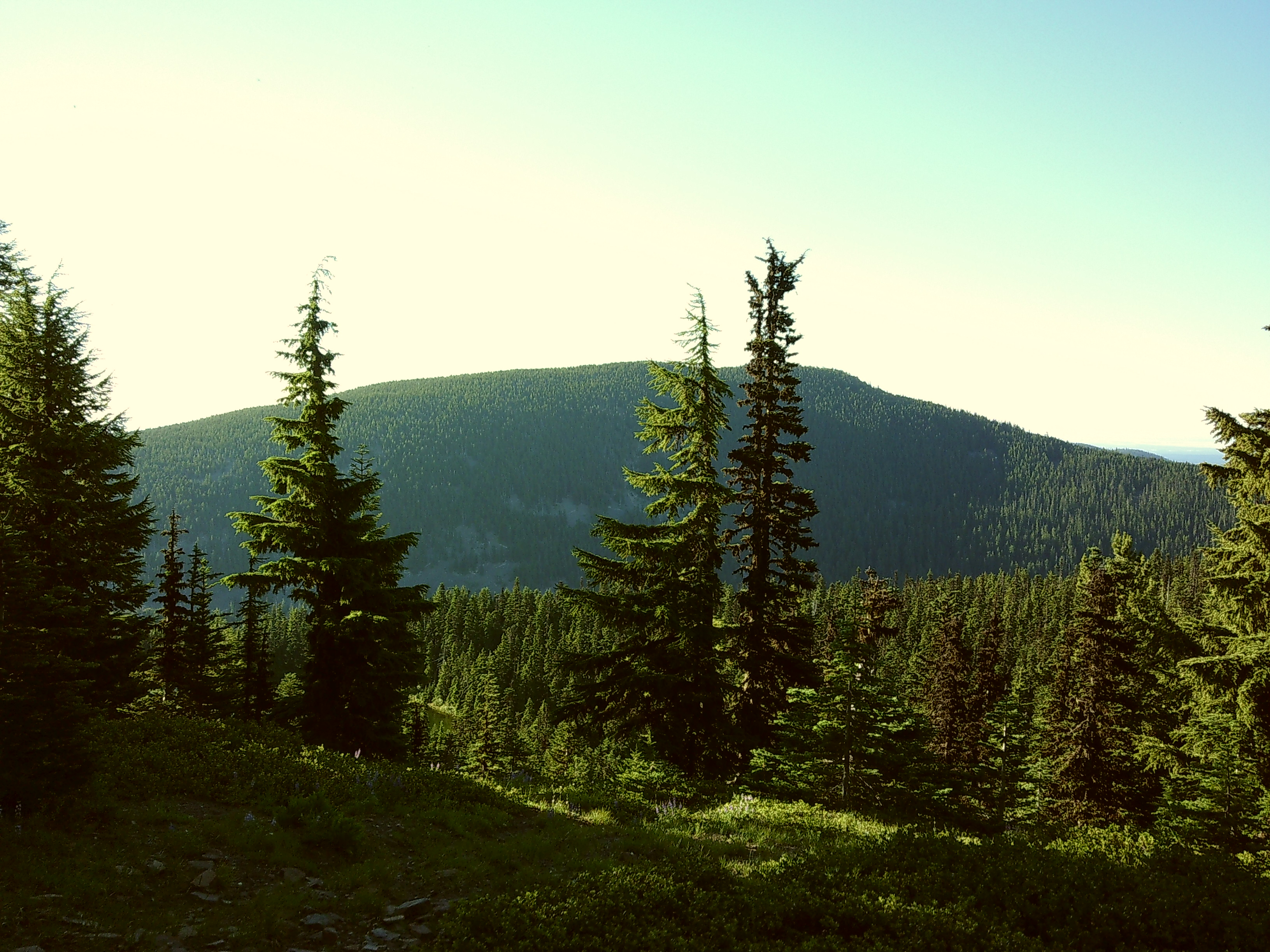
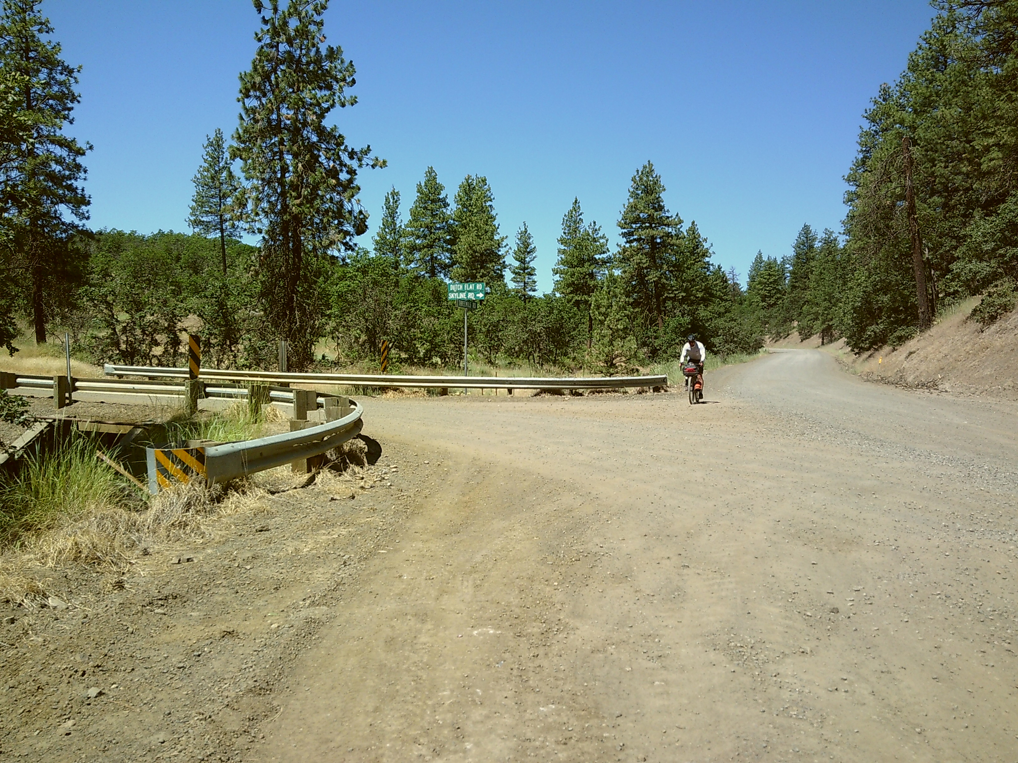
WE finally found some relief as we headed into the tree line. The morning of day 3 took us onto sections of Old Barlow Road and climbed towards Bennett Pass. We varied from the GPX this morning. There was a section of Barlow Road that was closed at the junction of FR43. We rerouted onto FS-48, which was straightforward. The end of Barlow Rd intersects with the Pacific Crest Trail and there were some tables and bathrooms which made a great lunch spot.

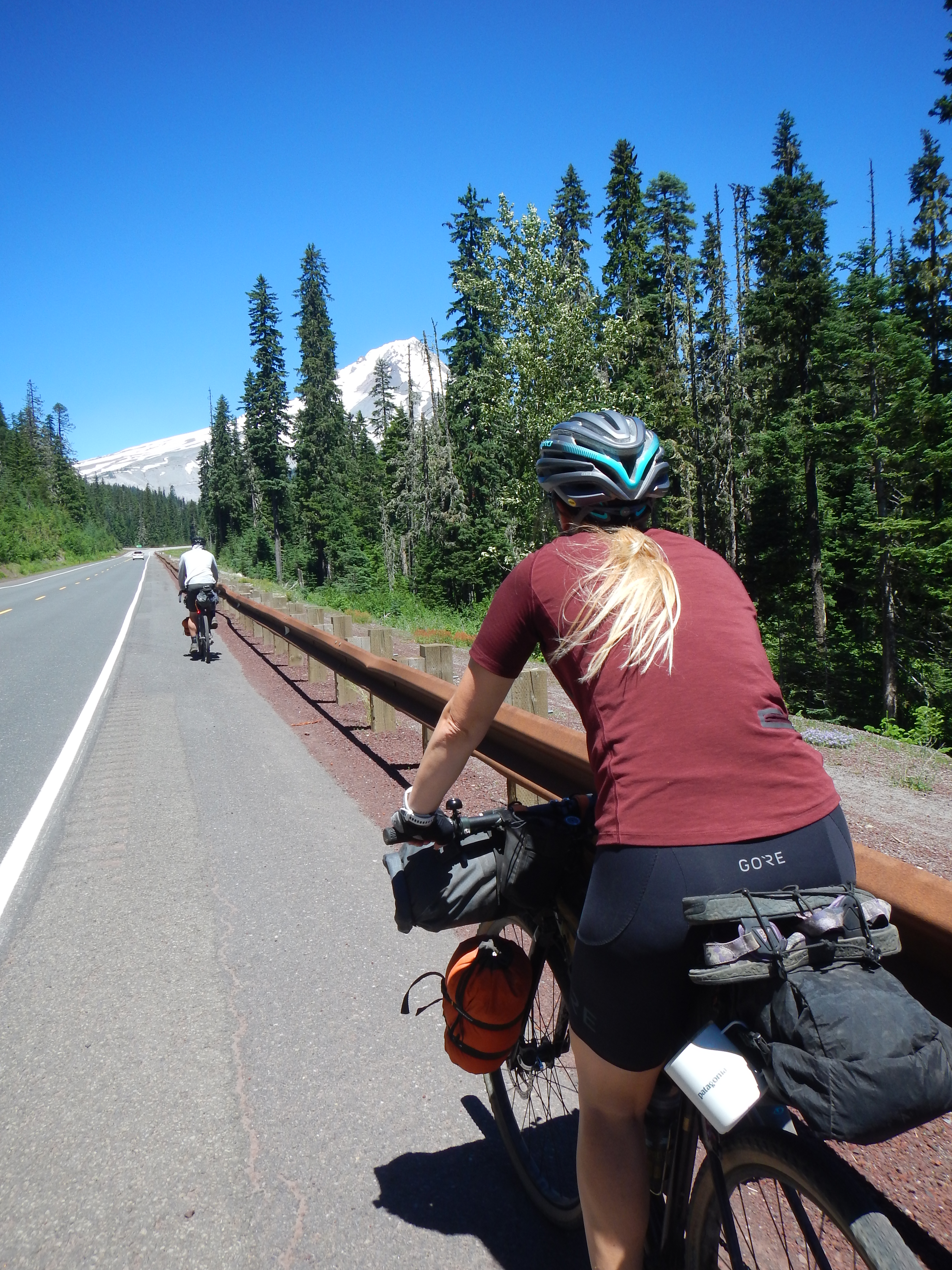
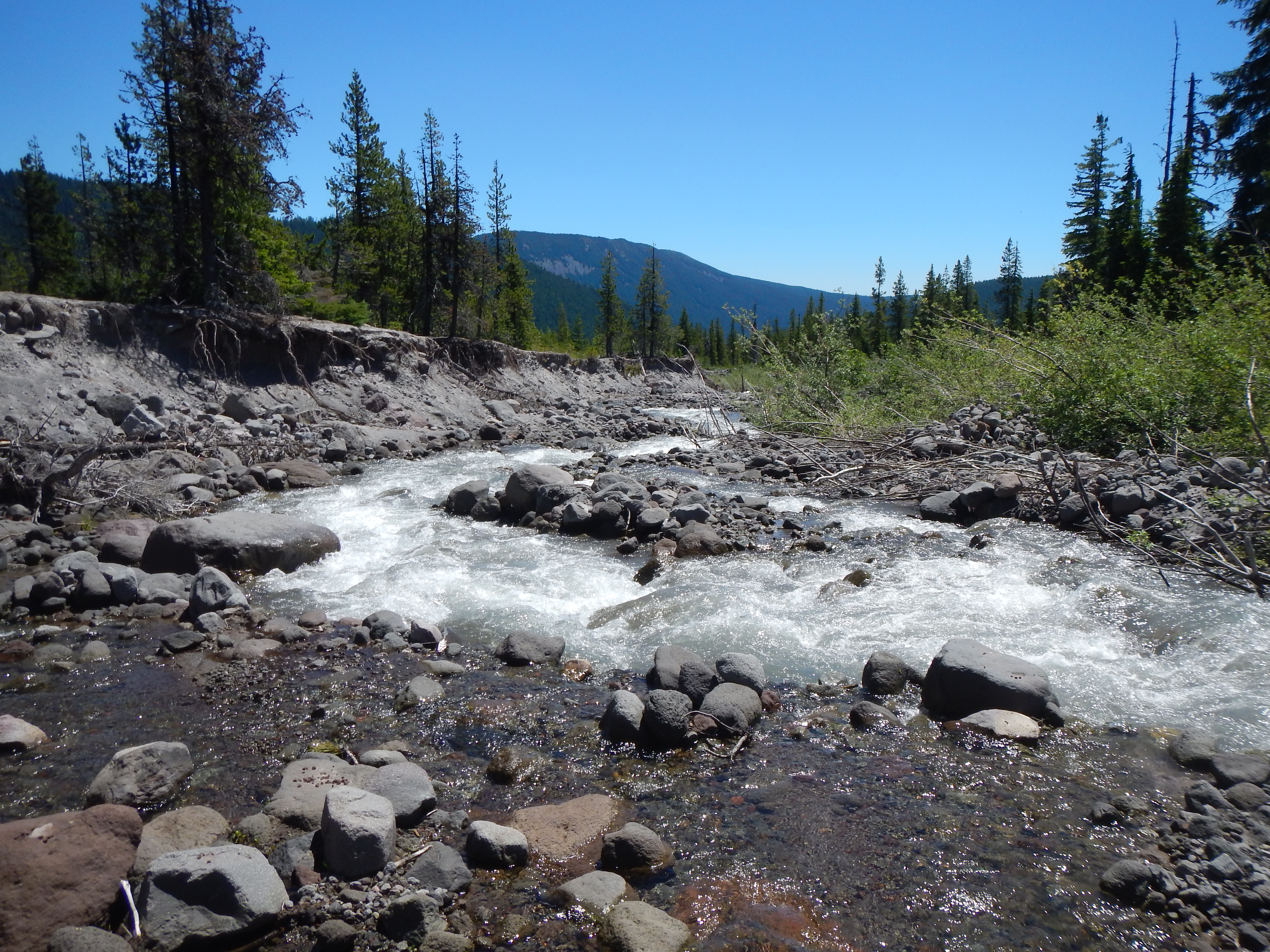
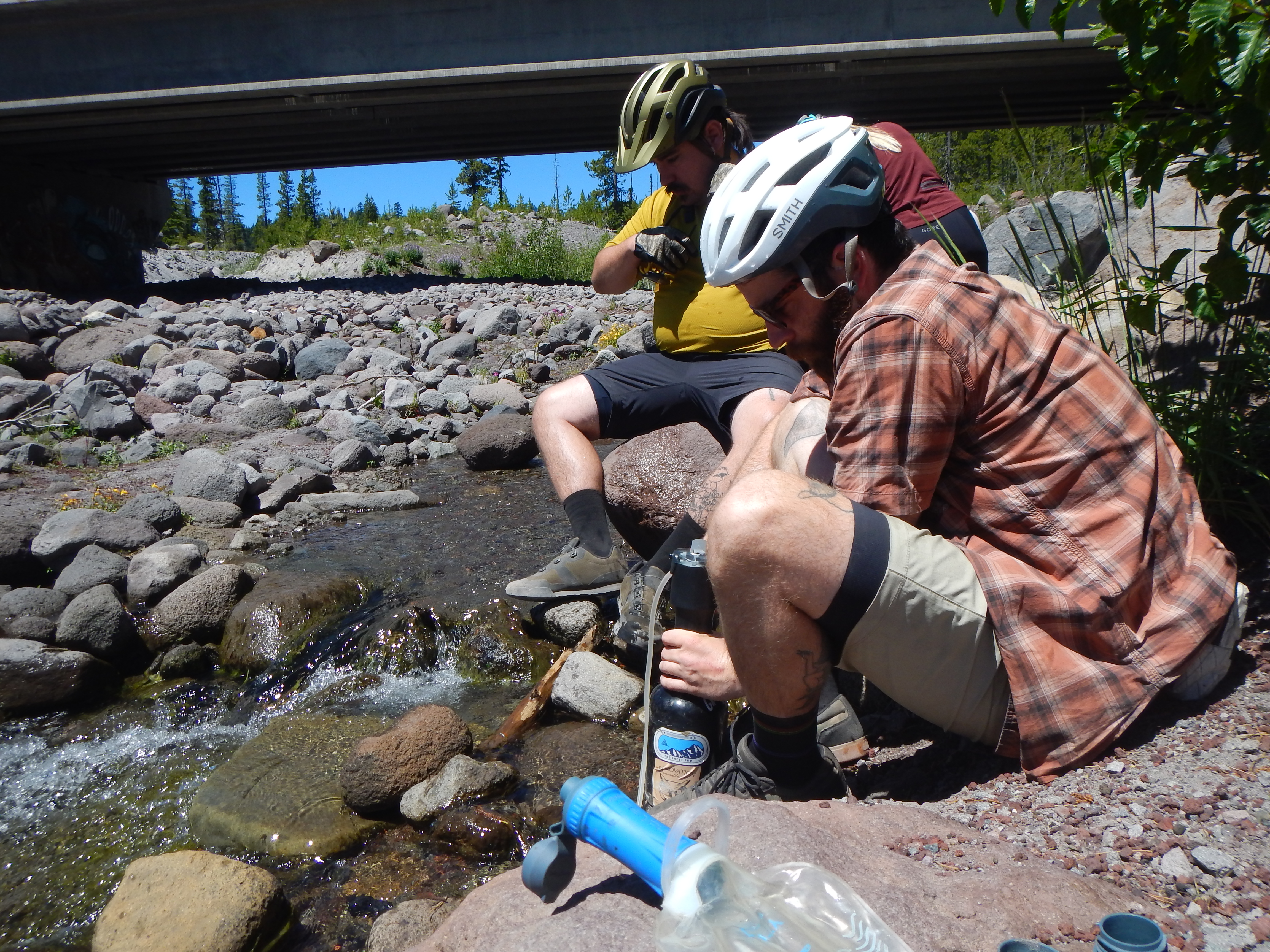
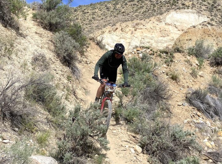
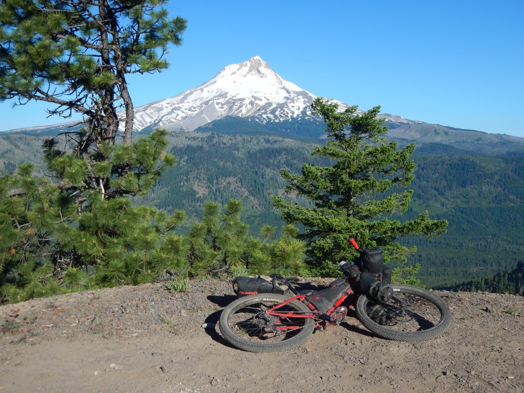
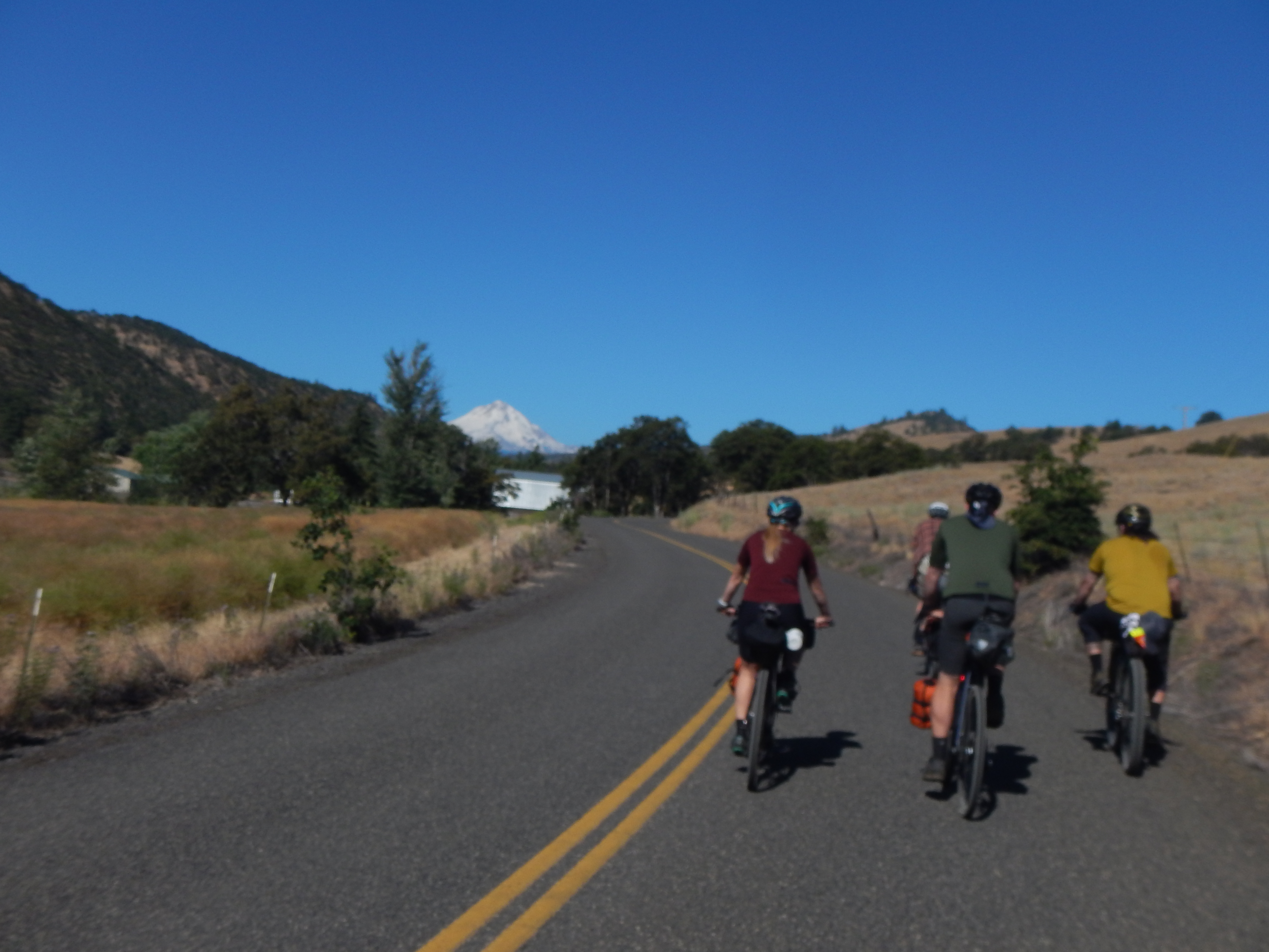
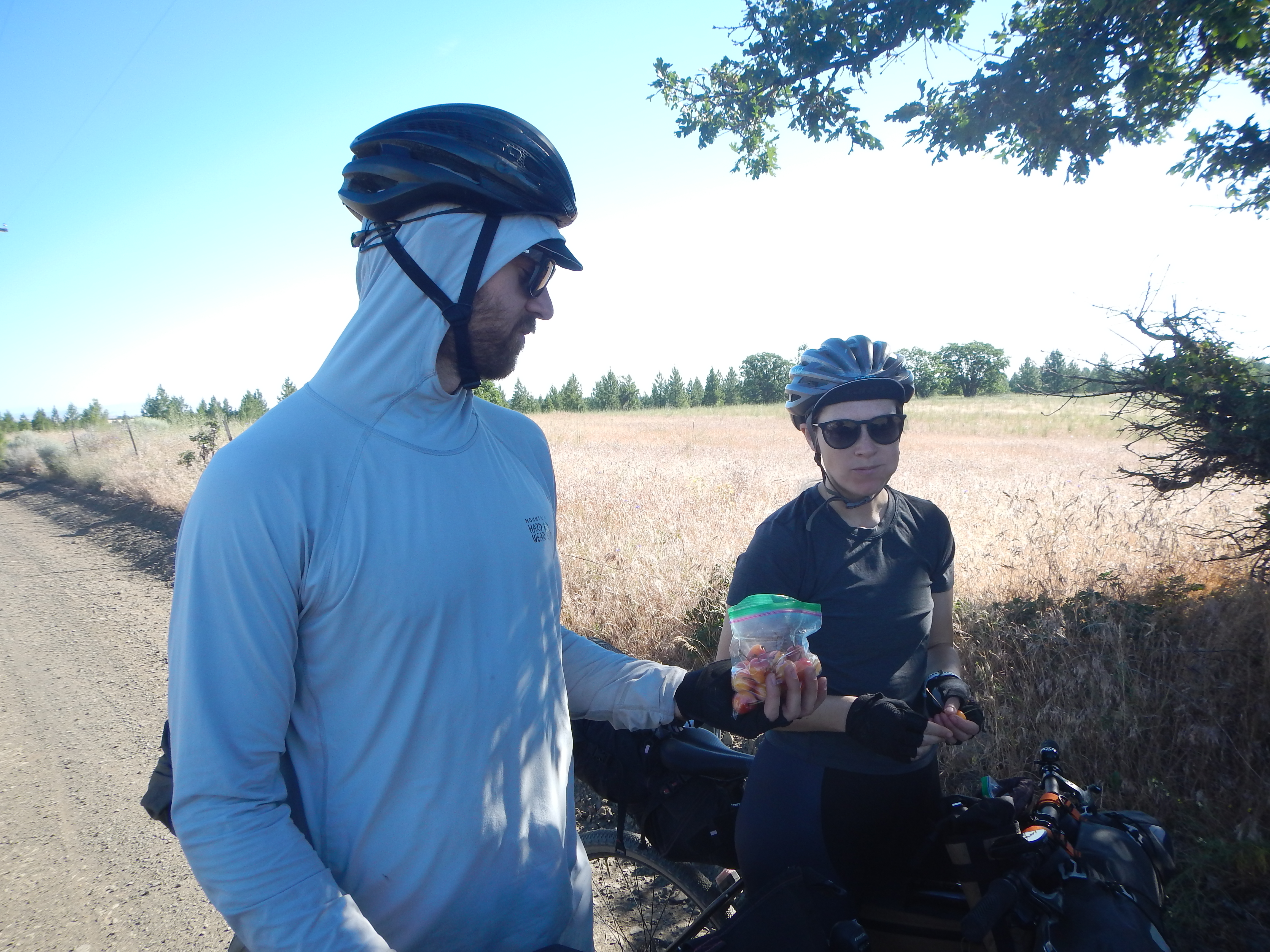
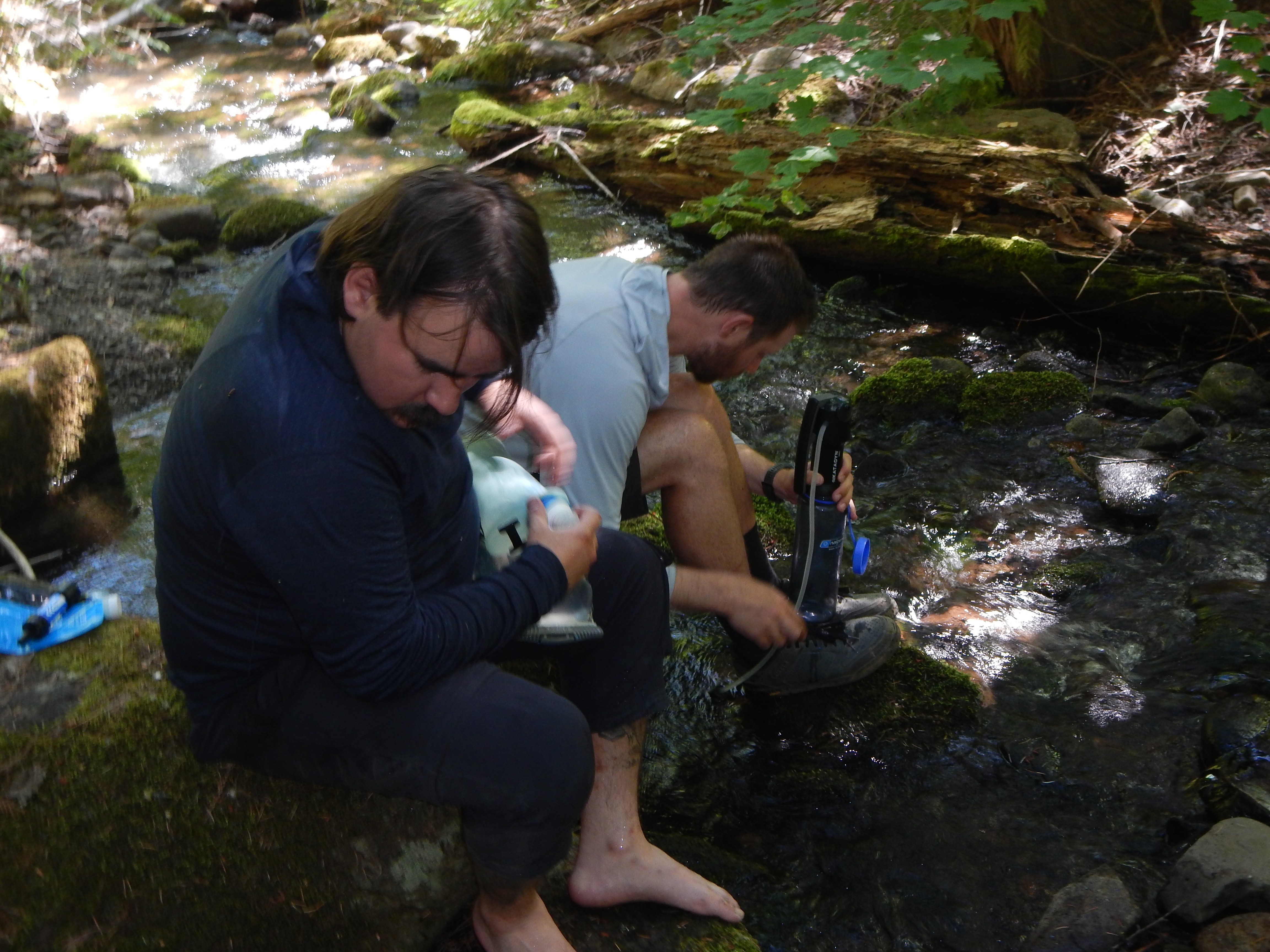
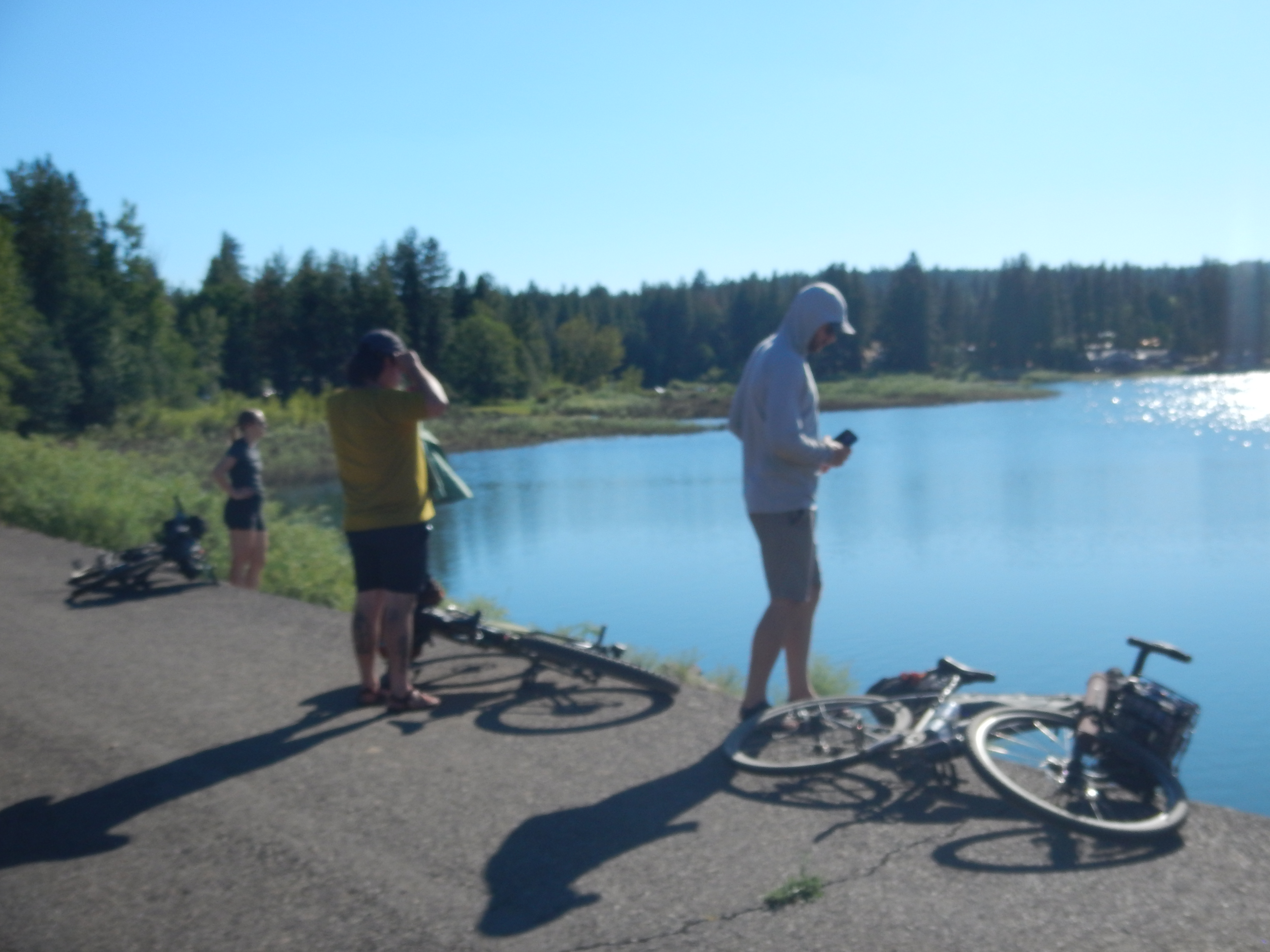
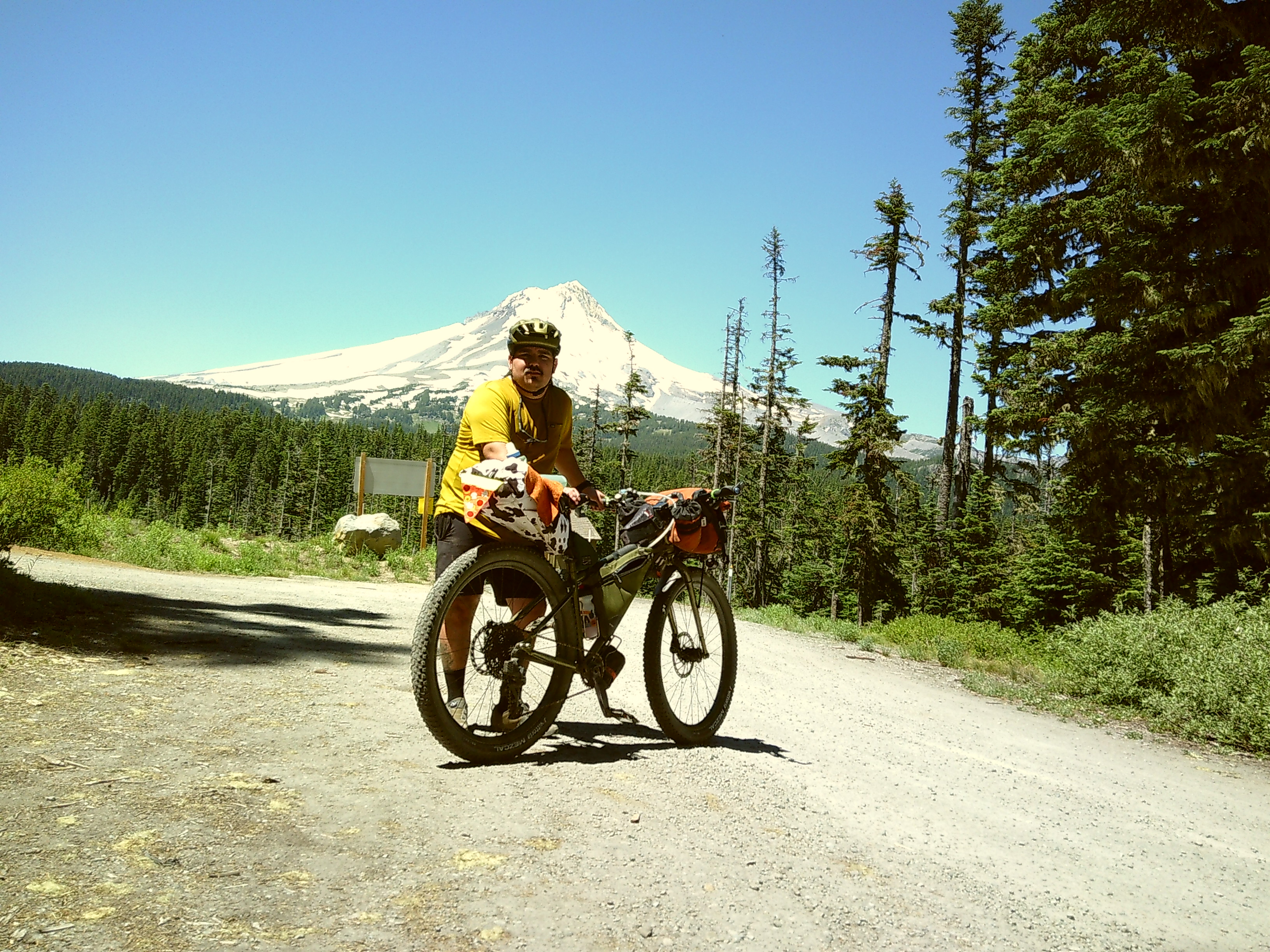
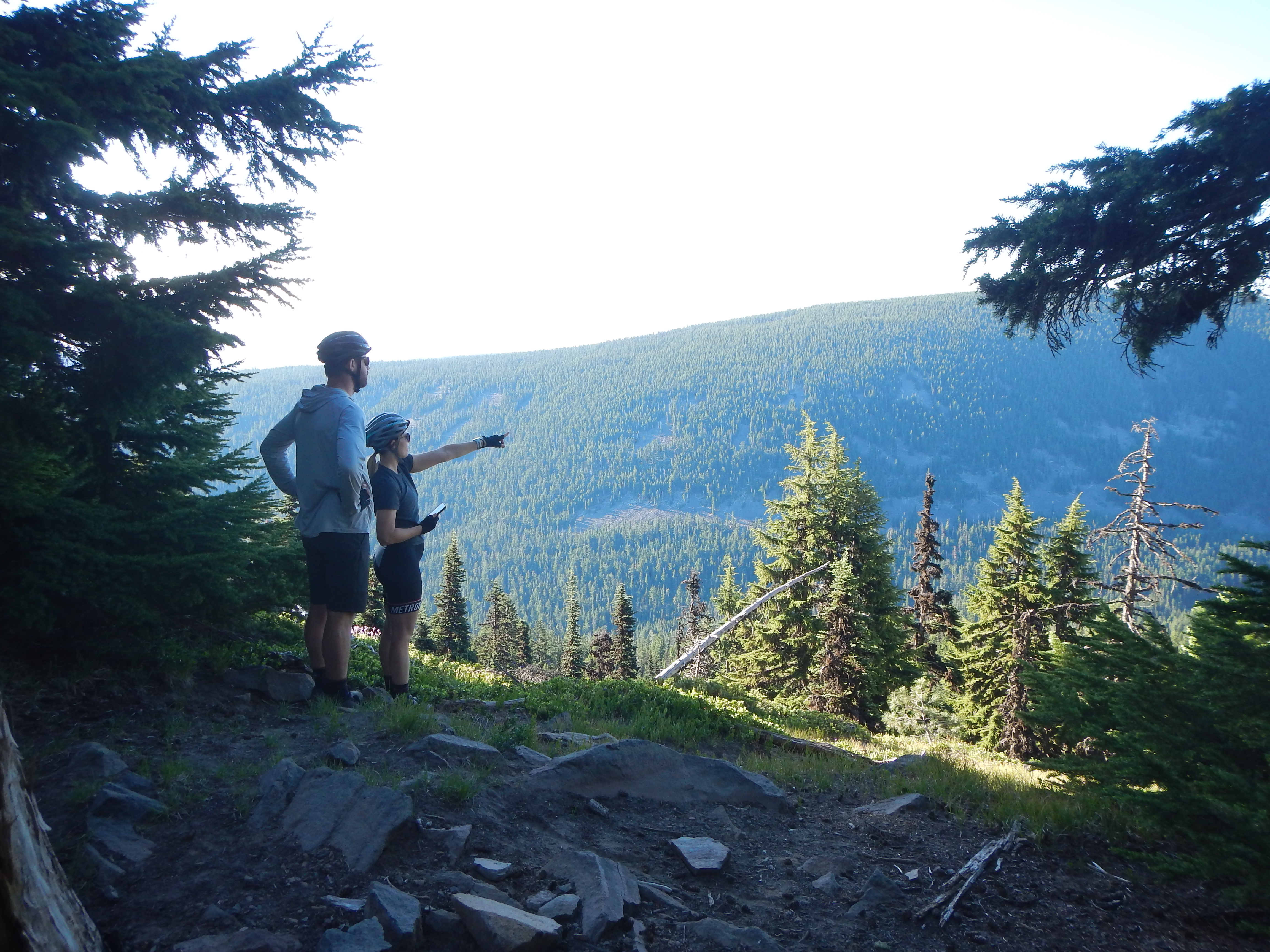
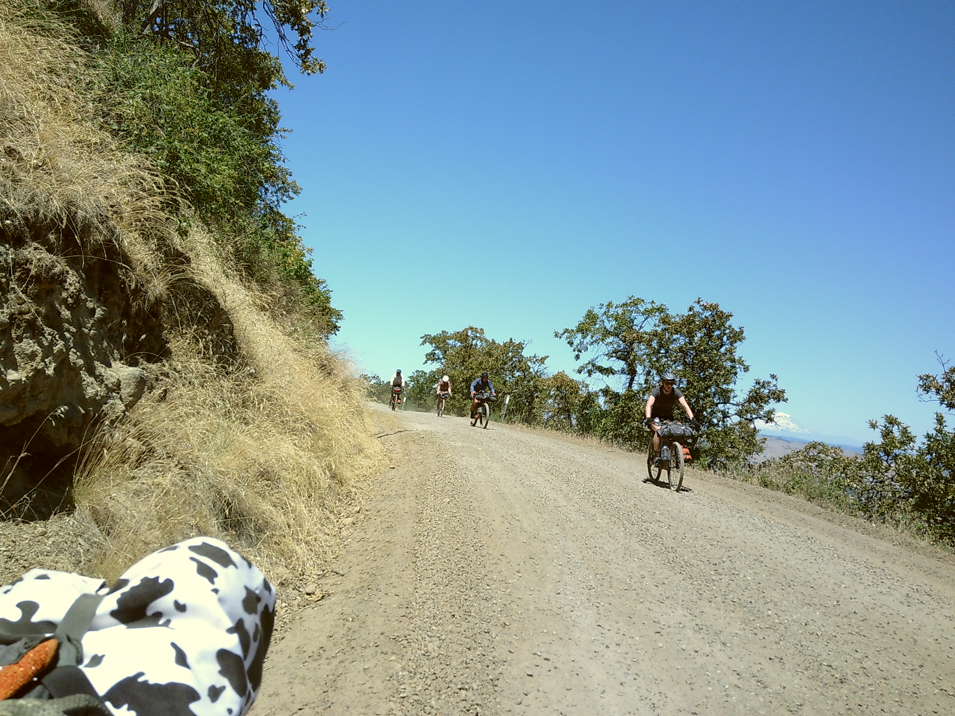
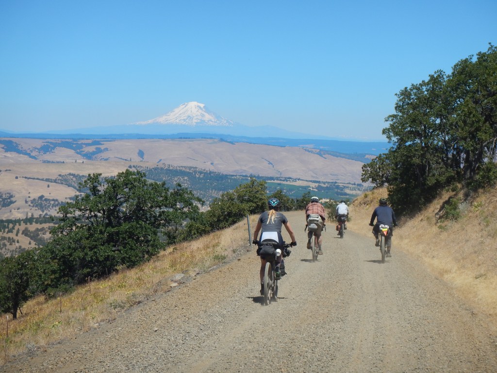
After lunch, we hopped on Mount Hood Hwy and descended into the best views of Mt. Hood. After we filtered water at the base of Mt. Hood, we finally connected with the Gunsight Ridge Road. This scenic forest road featured some steep climbs with some dramatic rock exposure.
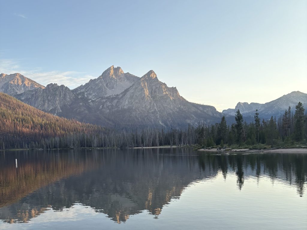
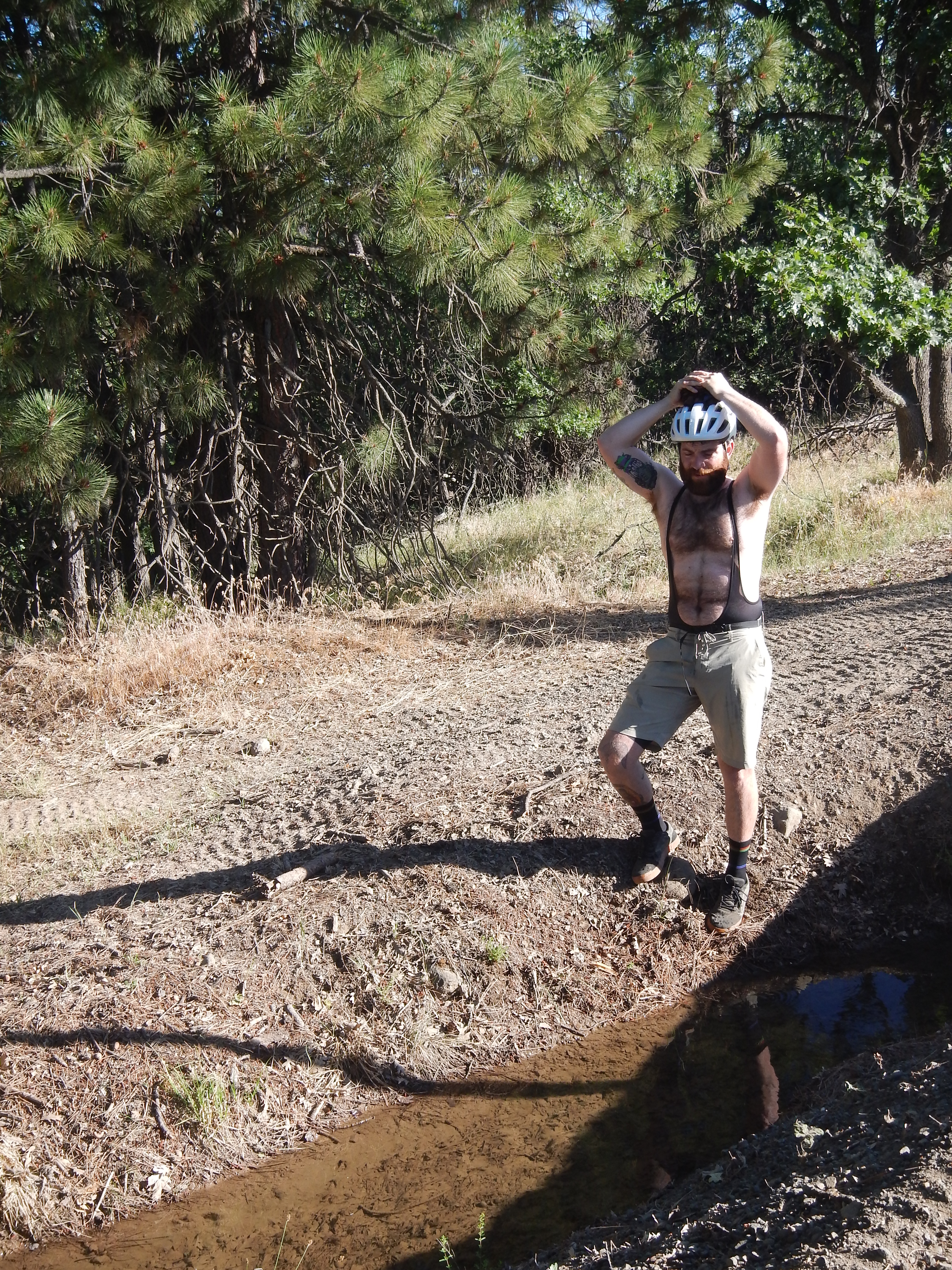
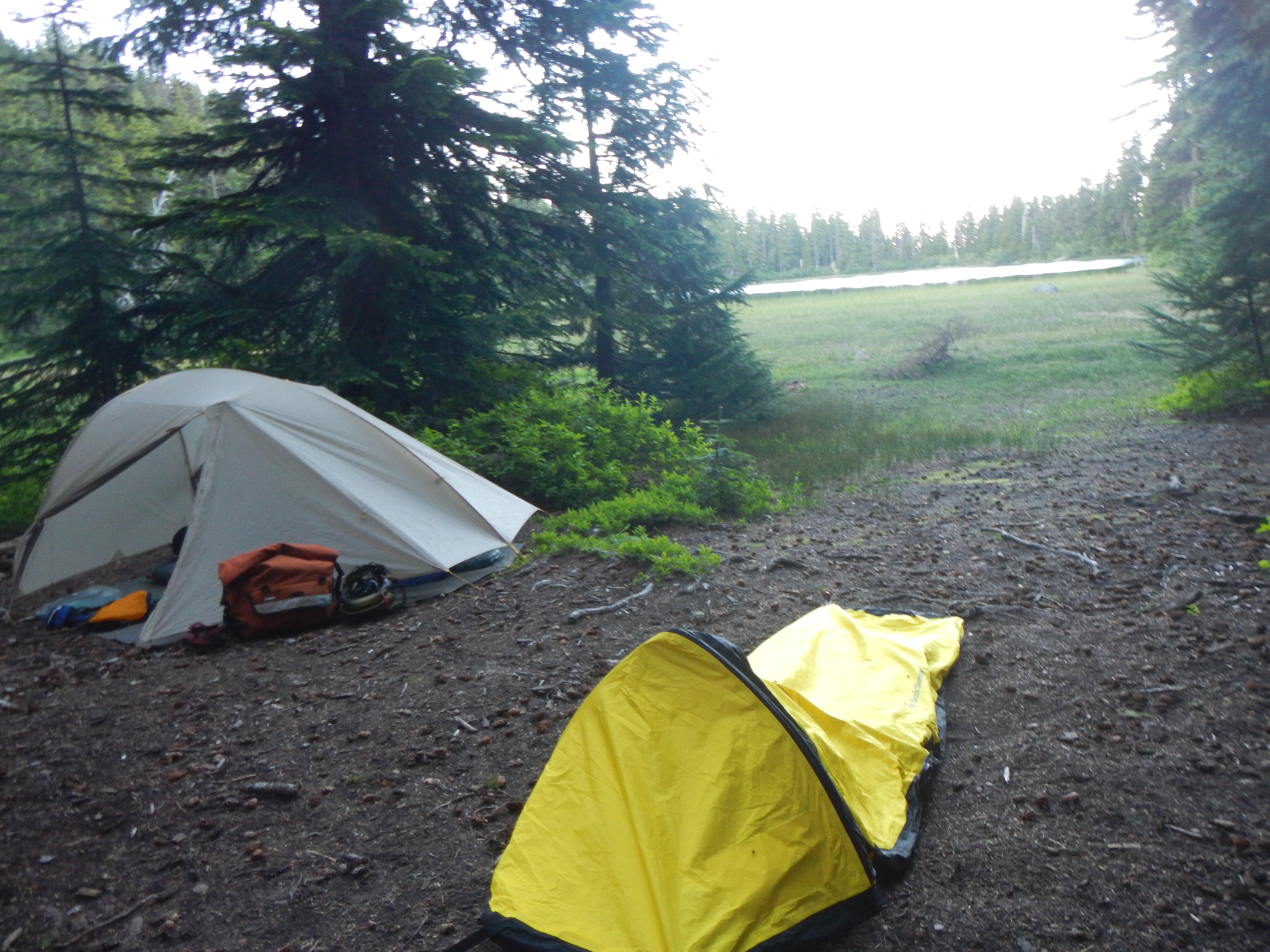
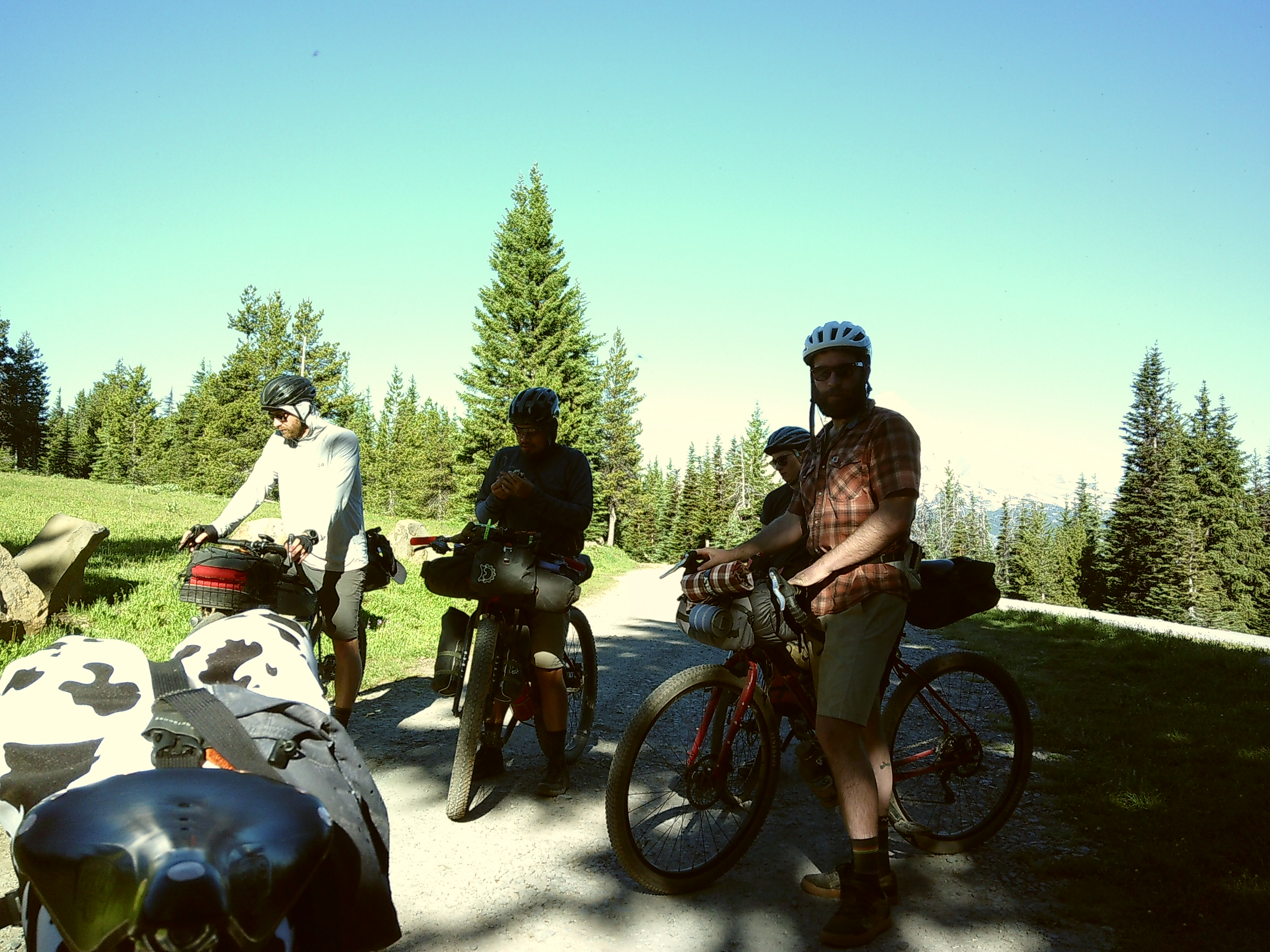
We ended our day at Jean Lake; this was a RECOMMENDED campsite by the route designer. The trailhead was not very obvious from the road. After a long day of climbs, it was pretty difficult to stomach the hike from the road where we left our bikes down into Jean Lake. The QUARTER-mile trail probably dropped a few HUNDRED feet, and we ended up crossing a dozen downed trees. IF you have the space, I RECOMMEND carrying a tote so that you can bring all your camping gear down in one trip. The site ITSELF was pretty, a small alpine lake w/ snow next to the site. It’s pretty fun seeing snow in July.

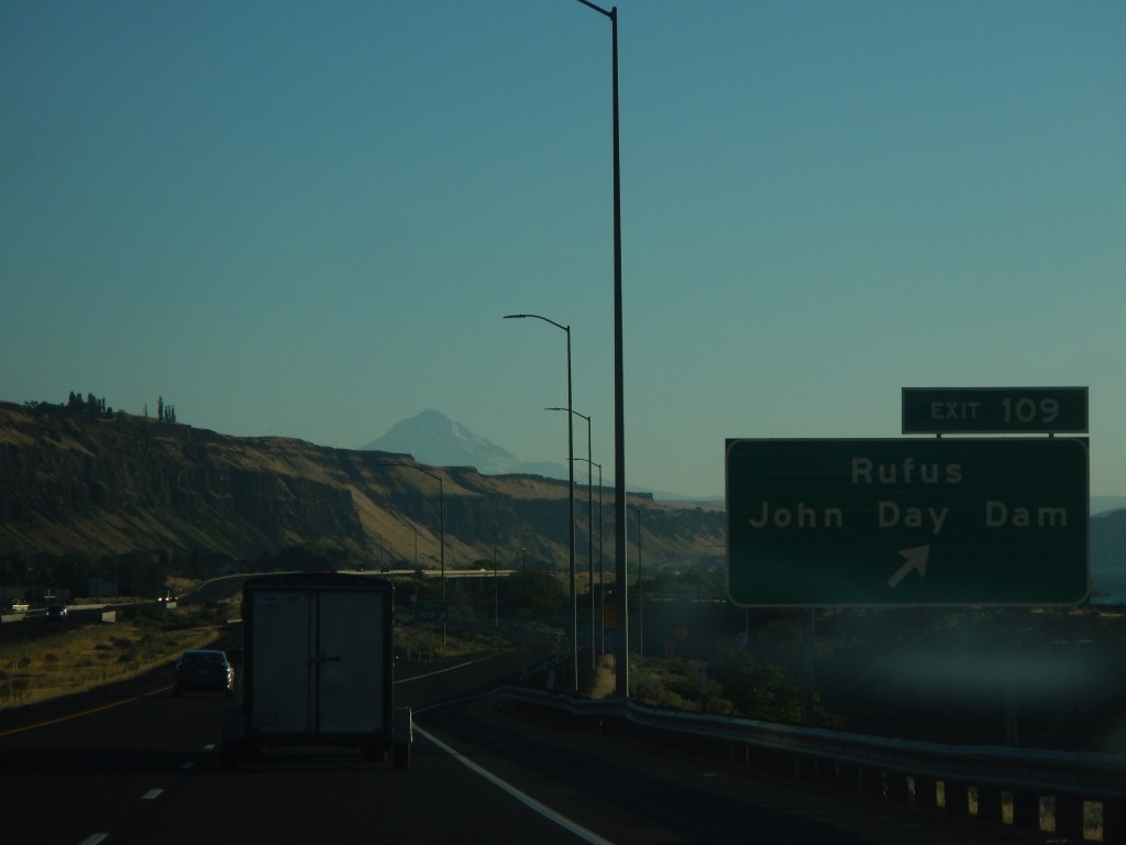
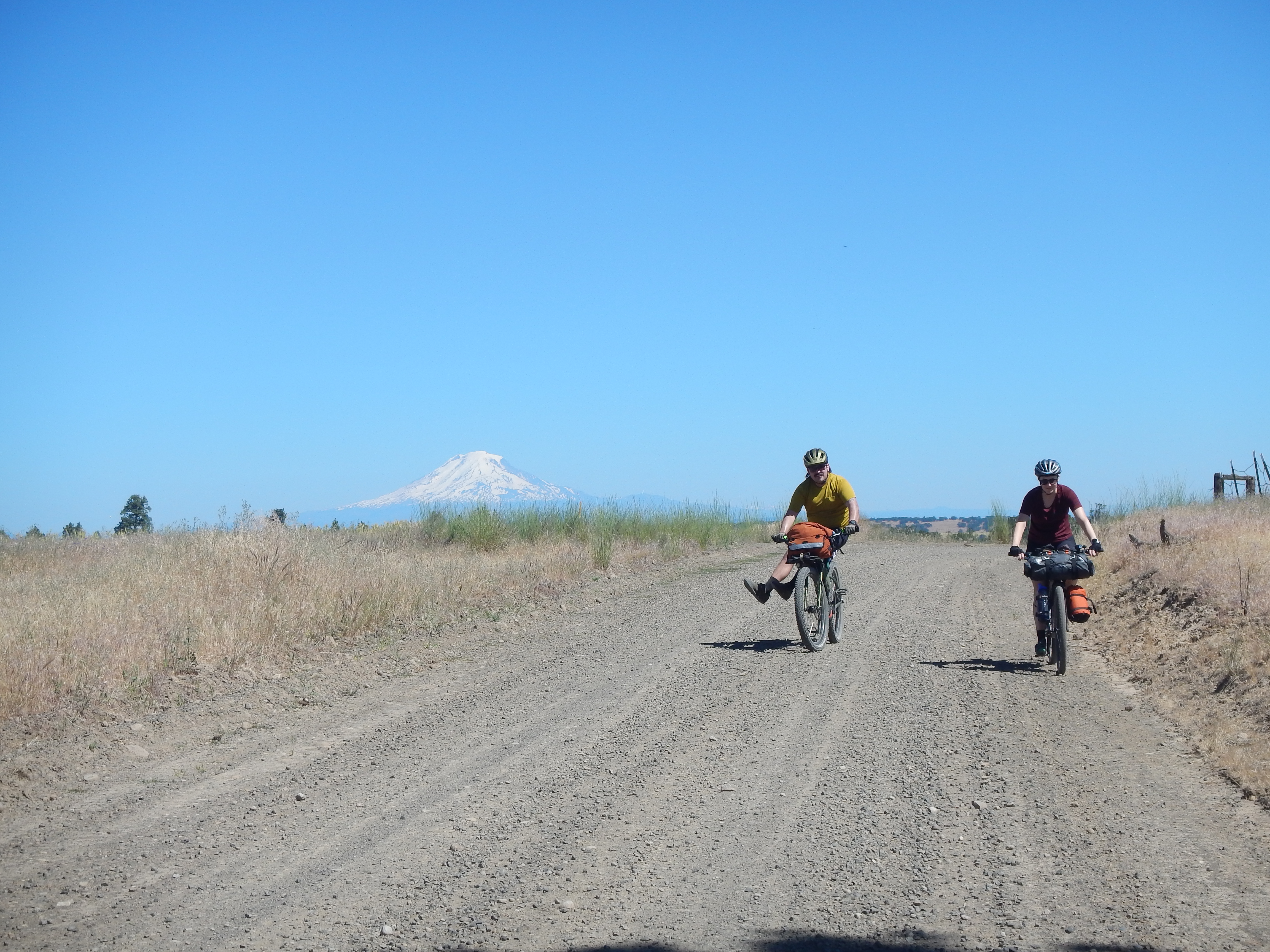
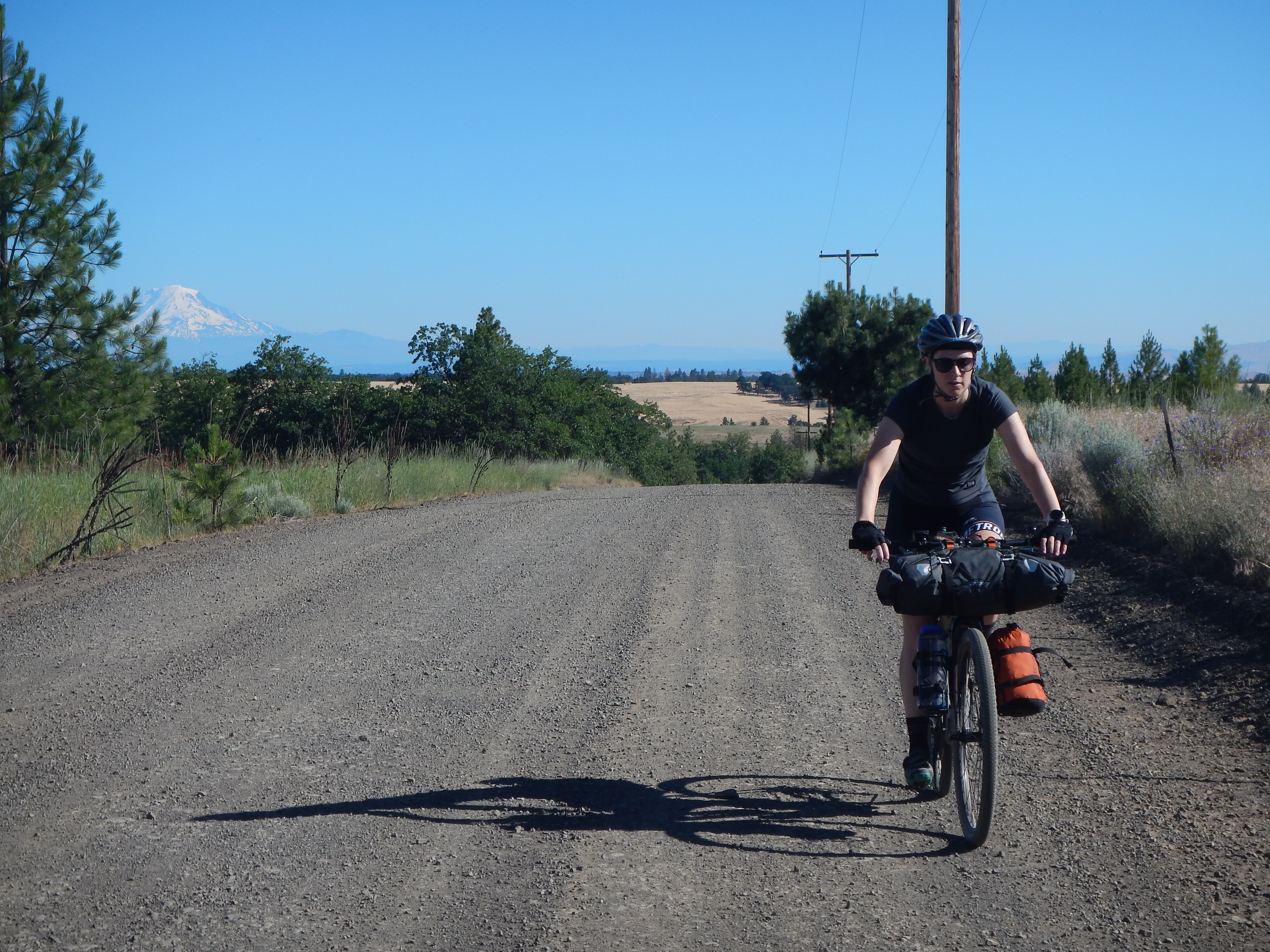
DAy 4 – Jean Lake back to the DAlles – 50 miles, 10k descent
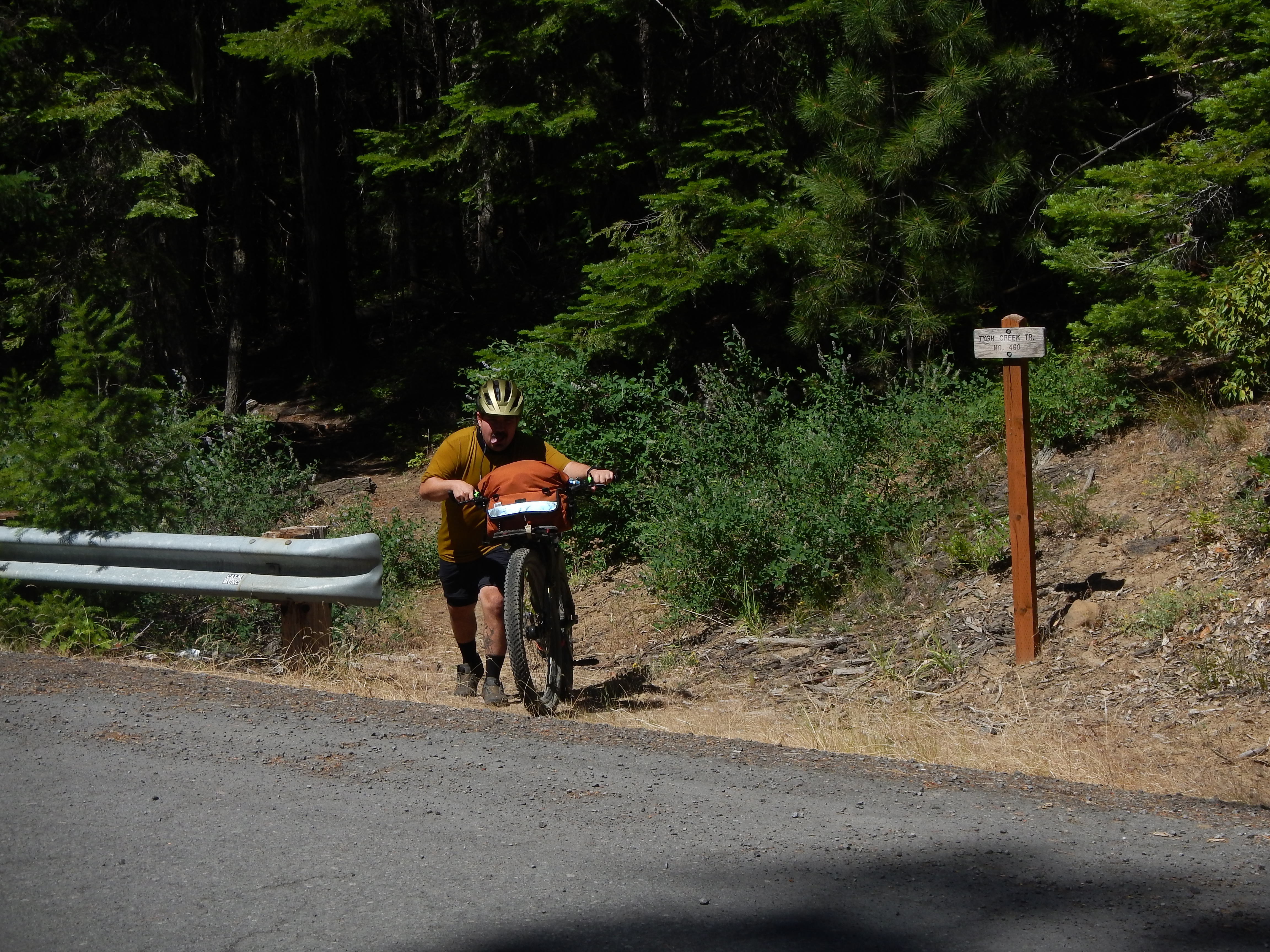
Day four was the best for riding, after three continuous days of climbing, with a 50 mi descent back into the Dalles. I don’t remember much; we skipped the recommended Flag Point lookout, but half the group, including me, took a wrong turn and biked toward the lookout for a few miles.
i DEFINITELY missed my OPPORTUNITIES to stay on top of nutrition THROUGHOUT the day. It felt like a blur. At some point, we descended below the treeline. Day four felt like the first day. It was hot, and the water was sparse. We were ready to be done.
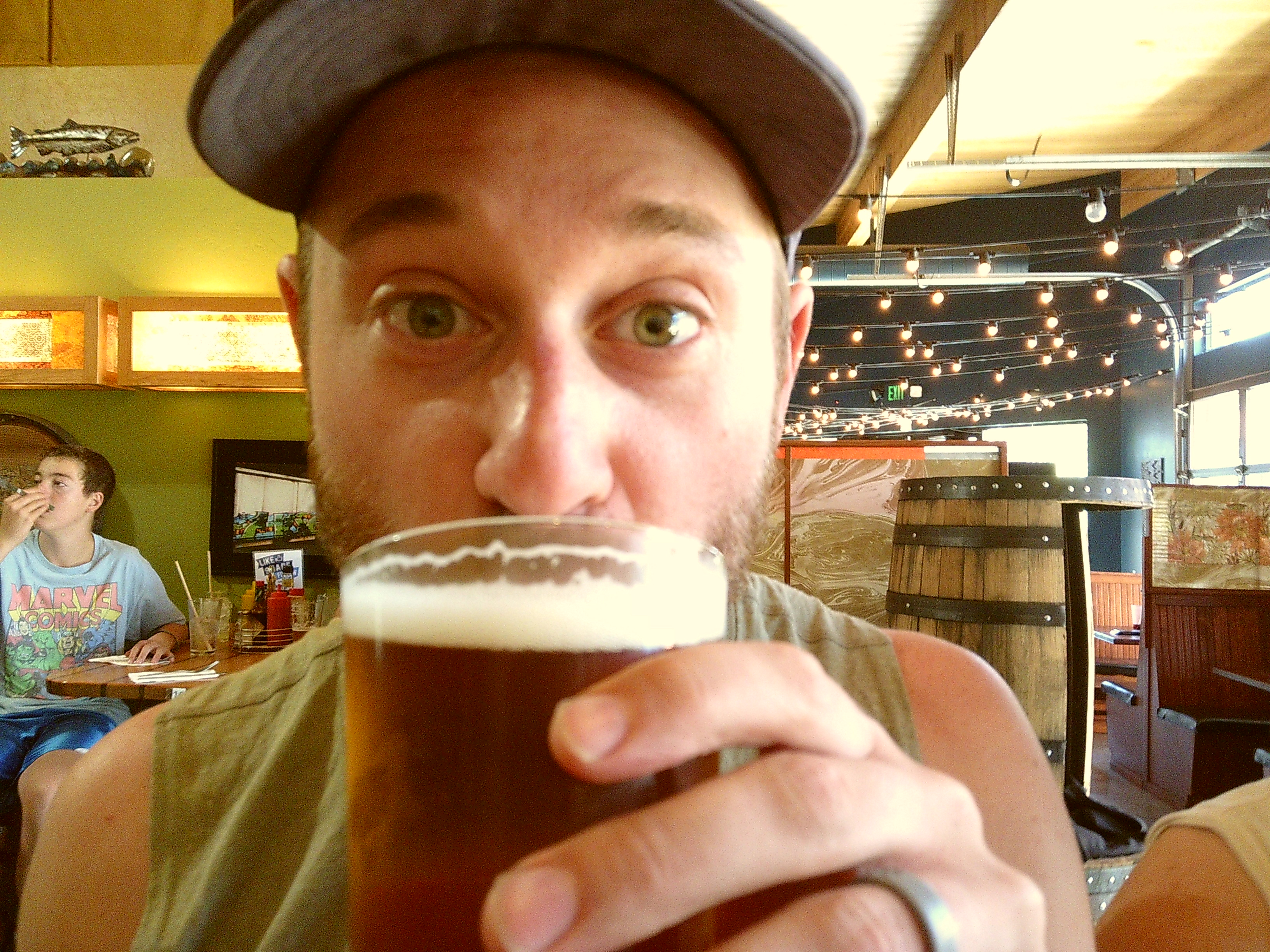
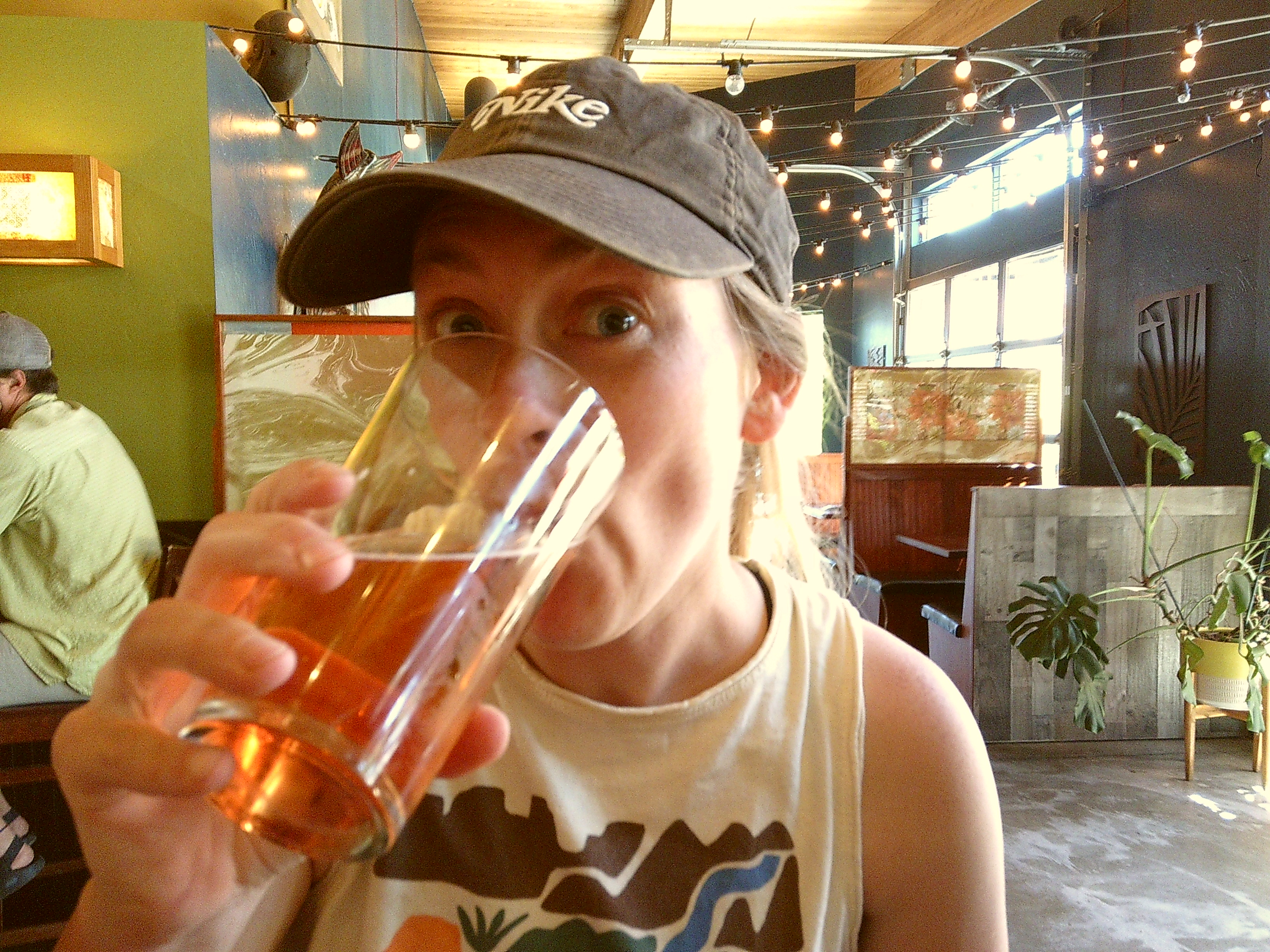
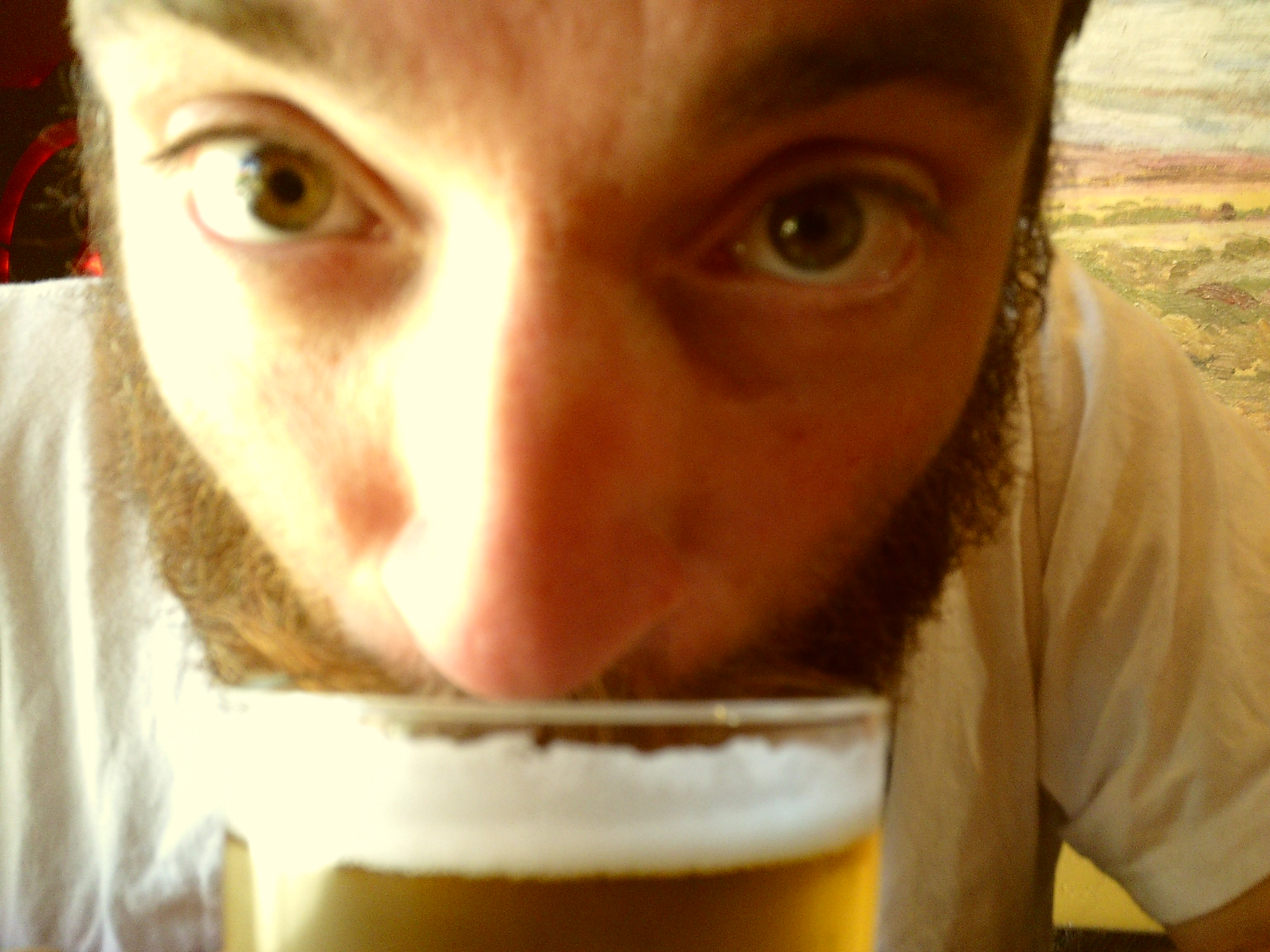
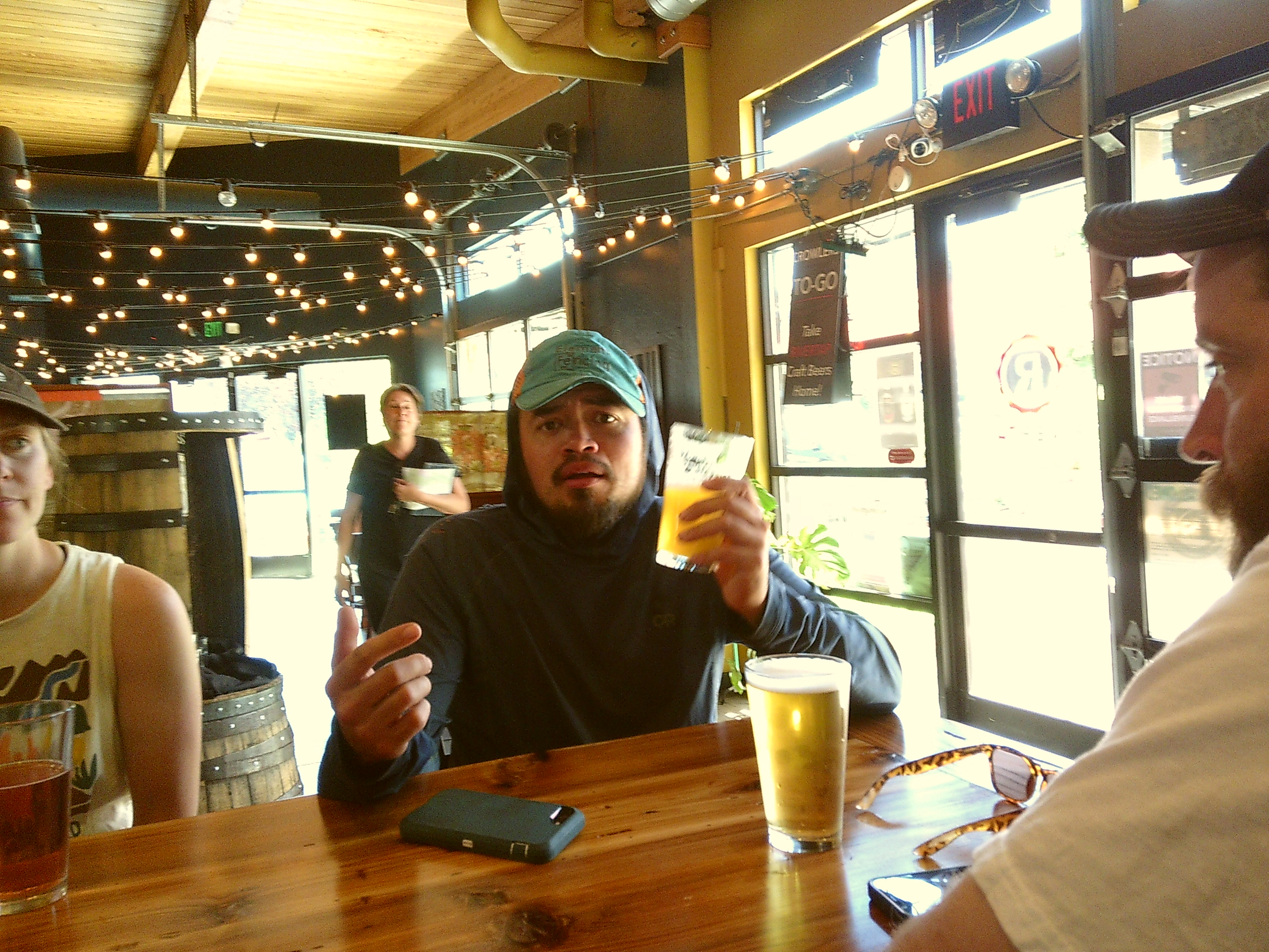
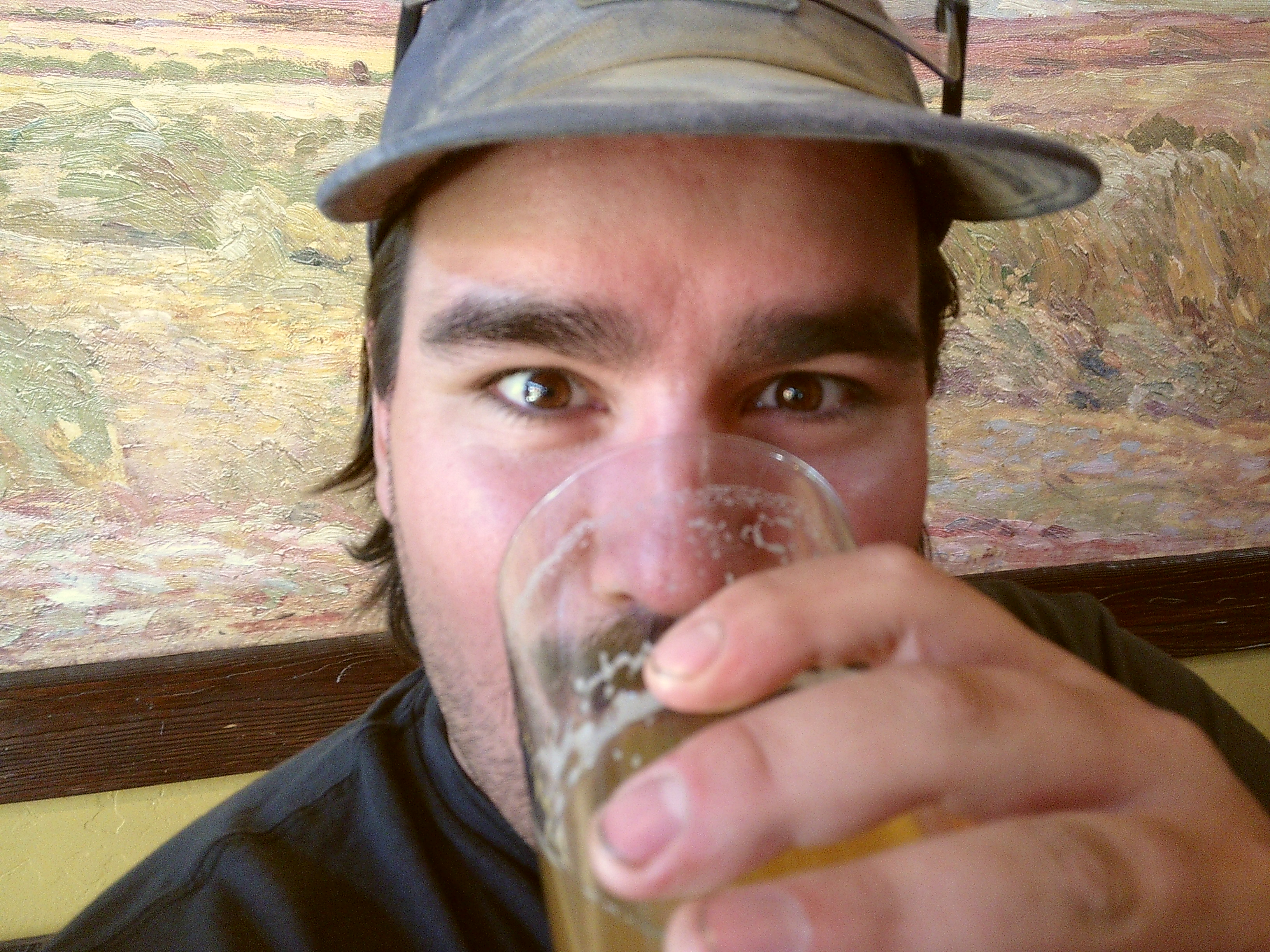
Eventually we made it back into town and shared a celebratroy beer.
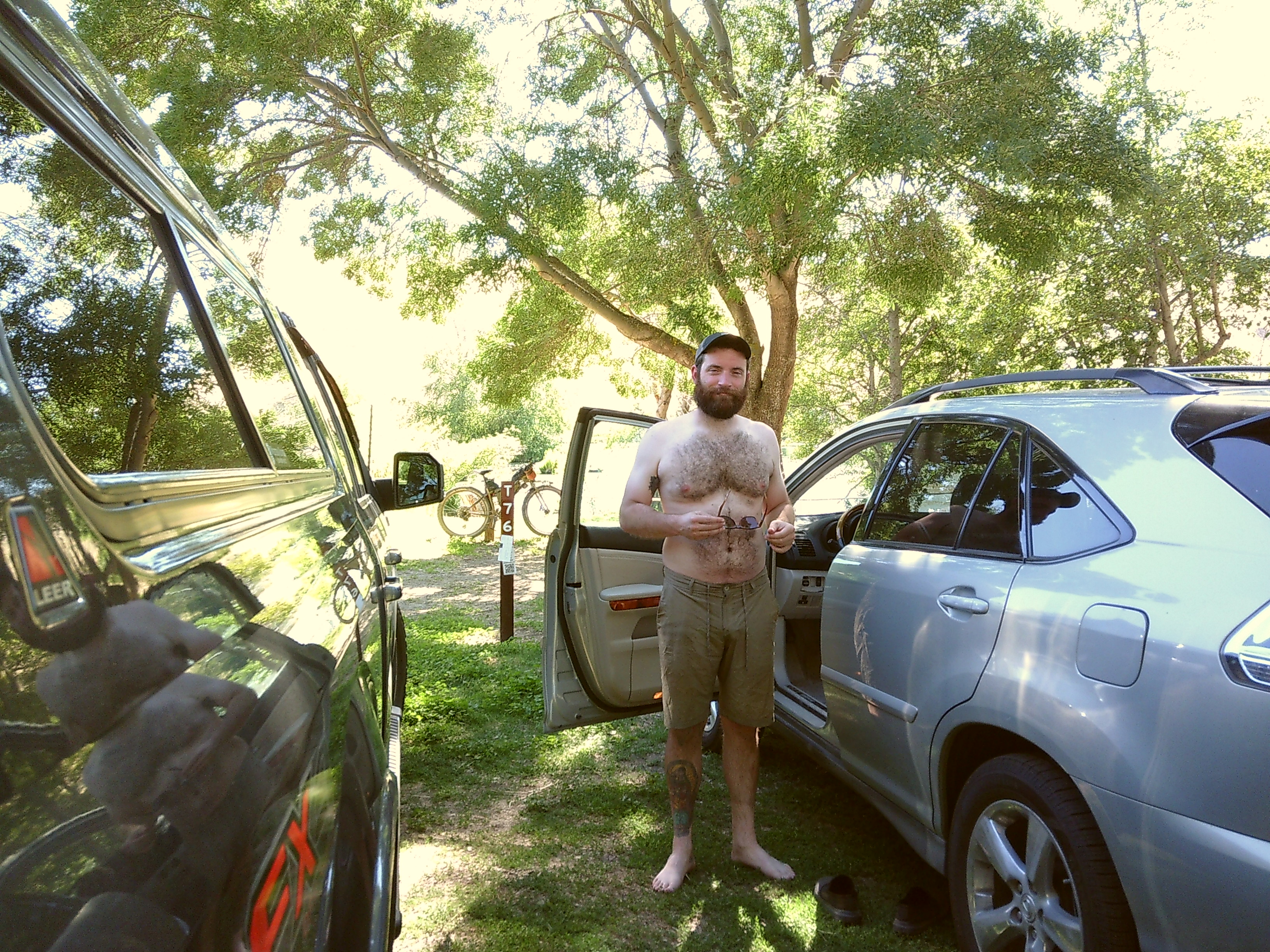
We returned to our campsite at Deschutes River Rec Campground to end the trip. We brought dominos and beers and enjoyed a dip in the river.

Our view leaving The Dalles. Roll on, COLuMBIA, roll on.
THX
LAWRENCE
Photos by: Lawrence Shaw w/ Nikon AW100 and David V. w/ Camp SNAP DIGITAL camera